Browse / United States / California / Midway City
Midway City
CaliforniaCDP

Midway City
Total population
7,999
Median home value
$788,600
Bachelor's+
Median income
$66,635
Demographic figures from US Census Bureau · ACS 5-year estimates. Overview below cites Wikipedia and may reference a different year.
City facts
Facts from Wikidata (CC0).
Overview
Midway City is an unincorporated community and census-designated place (CDP) that forms part of the county land controlled by Orange County, California. The only area in Orange County that incorporates its chamber of commerce and homeowners association to act in concert like a city council, the area mostly is surrounded by Westminster with Huntington Beach bordering it on the southwest. Midway City was so named because it is horizontally midway between Seal Beach, to the west, and Santa Ana, to the east. The 2020 census listed the population as 8,825.
Read more on WikipediaHistory & geography
History
Two miles directly to the east of Midway City was the now-defunct Town of Bolsa, which was established in 1870. Midway City's northernmost boundary, Hazard Avenue, is named after the great-grandparents of Clyde Hazard: early American pioneers Robert Samuel and Betsy Ann (née White) Hazard, who moved from Hitchcock County, Nebraska with their children to the Westminster district in August 1881 and subsequently purchased forty acres northwest of the Town of Bolsa on February 6, 1882. Ann was a direct descendant of the White family, who, in 1620, sailed from England to Plymouth, Massachusetts on the Mayflower. In 1915, one of the top United States poultry judges, W. M. Wise, moved from Michigan to perform breeding and service work for Pacific Southwest Poultry Farm in Midway City. Seven years later, Midway City began to take shape in 1922 when John H. Harper purchased of land based on the location of a local stagecoach stop and needs of the workers in the Huntington Beach Oil Field located west of the stagecoach stop. The area, which currently includes four unincorporated, "anemic" sections as a result of annexation for the Westminster business district, is known as Midway City; the largest section looks like a crooked letter "P". Midway City is six miles from Santa Ana, six miles from Huntington Beach, and seven miles from Long Beach, giving rise to the Midway City name. Harper Street, which vertically bisects the largest of the four Midway City sections, is named after John Harper. After learning of American aviator Charles Lindbergh's famed May 20–21, 1927 first solo transatlantic flight via non-stop fixed-wing aircraft flight between America and mainland Europe, Three months later, by August 1927, Zenith Aircraft Corporation built a huge, lightweight tri-motor…
Geography
Midway City is located at (33.7447, −117.987). Under the United States Census Bureau's most recent survey, the area had a total area of (404 acres), all land. According to the June 2012 land records published by the Orange County Public Works, Midway City occupies about 391 acres within an 832-acre rectangular boundary, where the four islands measure approximately: the northeast island: 296.6 acres, the southwest island: 40.5 acres, the southeast island: 33 acres, and the northwest island: 21.1 acres.
Excerpted from the corresponding Wikipedia article (CC BY-SA).
Demographics & economy
Race & ethnicity
Source: US Census Bureau — American Community Survey, 5-year estimates.
Geography
Coordinates & boundaries from the US Census TIGER/Line shapefiles.
Climate
Current forecast
Forecast for Midway City, CA from NOAA NWS API.
Air quality
Industrial & pollution facilities
Natural hazard risk
Health (adults)
Age-adjusted prevalence estimates from CDC PLACES (latest release).
Walkability
Amenities nearby
Wildlife & biodiversity
Most-observed species
- House FinchHaemorhous mexicanus (P.L.Statius Müller, 1776) · Aves90,349
- American CrowCorvus brachyrhynchos C.L.Brehm, 1822 · Aves86,043
- Black PhoebeSayornis nigricans (Swainson, 1827) · Aves83,352
- Allen's HummingbirdSelasphorus sasin (R.Lesson, 1829) · Aves69,806
- MallardAnas platyrhynchos Linnaeus, 1758 · Aves67,702
- Mourning DoveZenaida macroura (Linnaeus, 1758) · Aves64,518
- Song SparrowMelospiza melodia (A.Wilson, 1810) · Aves59,286
- Anna's HummingbirdCalypte anna (R.Lesson, 1829) · Aves55,642
Citizen-science & research observations from the Global Biodiversity Information Facility (GBIF).
Schools
Largest nearby schools
- Fountain Valley HighHigh · Fountain Valley · 3,180 students · 26.3:1 ratio
- Santa Ana HighHigh · Santa Ana · 3,135 students · 23.2:1 ratio
- Los Alamitos HighHigh · Los Alamitos · 3,055 students · 25.5:1 ratio
- Cypress HighHigh · Cypress · 2,820 students · 24.5:1 ratio
- Huntington Beach HighHigh · Huntington Beach · 2,807 students · 26.2:1 ratio
- Anaheim HighHigh · Anaheim · 2,750 students · 21:1 ratio
- Westminster HighHigh · Westminster · 2,637 students · 24.2:1 ratio
- Katella HighHigh · Anaheim · 2,587 students · 23.5:1 ratio
Public K–12 schools within ~10 mi from Urban Institute Education Data Portal (NCES Common Core of Data, 2022).
Earthquake history
Most recent
- M 3.16 — 2026-10-092 km SW of Signal Hill, CA
- M 2.7 — 2026-10-082 km WNW of Fontana, CA
- M 2.51 — 2026-10-0531 km SW of Dana Point, CA
- M 2.81 — 2026-10-0532 km SW of Dana Point, CA
- M 3.48 — 2026-10-0531 km SW of Dana Point, CA
- M 3.55404092525043 — 2026-09-277 km WSW of Hermosa Beach, CA
Events from the USGS Earthquake Catalog (global) (FDSN Event Web Service).
Photos
Sights & places nearby
Notable people from here


People born within ~10 km, from Wikidata (CC0). Click any name for their Wikipedia article.
Nearby places in California
- Los Alamitos5.7 mi away · pop. 11,794
- Cypress5.9 mi away · pop. 49,498
- Hawaiian Gardens7.8 mi away · pop. 13,691
- Cerritos9.8 mi away · pop. 47,867
- Artesia10.1 mi away
- North Tustin11 mi away
- East Whittier12.4 mi away
- Rowland Heights16.5 mi away · pop. 45,911
- Laguna Woods17.3 mi away · pop. 17,289
- Commerce19.7 mi away · pop. 11,993
- La Puente19.9 mi away · pop. 37,142
- Avocado Heights20.3 mi away
Geography & sun
Elevation, sunrise/sunset and daylight from Open-Meteo. Solar climatology from NASA POWER.
Nearby airports
Public attention
Pageview totals from the Wikimedia Pageviews API.
Books about Midway City






Search results from Open Library.
Recent natural events nearby
- Wildfire BOUQUET, Los Angeles, CaliforniaWildfires · 2026-10-03 · 61 mi
- Wildfire RIDGE, Los Angeles, CaliforniaWildfires · 2026-08-07 · 87 mi
- Wildfire BUZZARD, Kern, CaliforniaWildfires · 2026-08-05 · 96 mi
- Wildfire PLAINS, San Luis Obispo, CaliforniaWildfires · 2026-08-12 · 163 mi
- Prescribed Fire CRAWFORD CORRAL RX, Tulare, CaliforniaWildfires · 2026-09-19 · 205 mi
- Wildfire Plaskett, Monterey, CaliforniaWildfires · 2026-08-26 · 245 mi
Wildfires, storms and other events from NASA EONET (last 12 months, within 250 mi).
Ground air-quality sensors
Recently spotted species
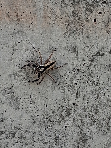
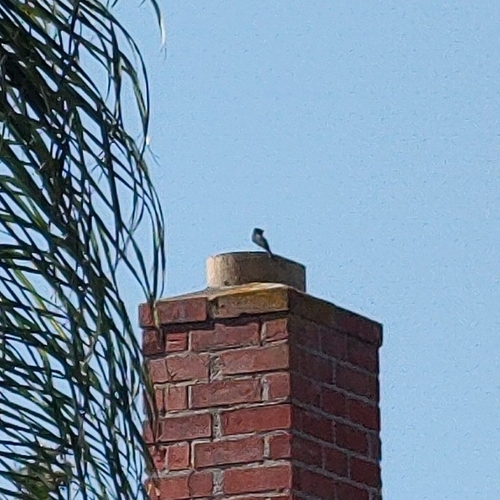
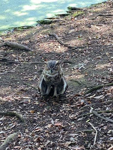
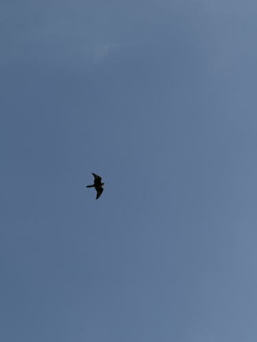
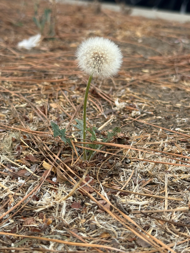
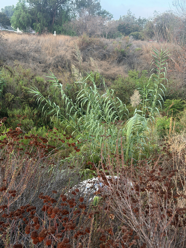
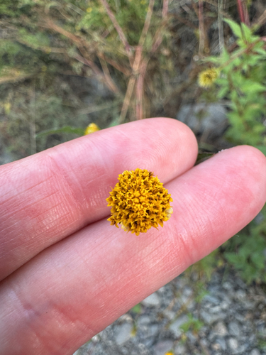
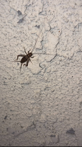
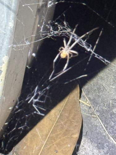
Research-grade observations from iNaturalist (within ~15 mi).
Nearest stream gauge
Events
Gallery
Sources
- • Wikipedia
- • US Census Bureau (ACS 5-year estimates)
- • NOAA National Weather Service
- • Wikidata
- • USGS Earthquake Catalog (global feed)
- • NCES via Urban Institute Education Data Portal
- • GBIF (Global Biodiversity Information Facility)
- • iNaturalist
- • CDC PLACES
- • Open-Meteo / sunrise-sunset.org
- • Wikipedia Pageviews API
- • Open Library
- • NASA EONET