Browse / United States / California / National City
National City
Californiacity

National City
Total population
58,893
Median home value
$612,200
Bachelor's+
Median income
$66,841
Founded
1800
Air quality index
Demographic figures from US Census Bureau · ACS 5-year estimates. Overview below cites Wikipedia and may reference a different year.
- Heat Advisory · ModerateHeat Advisory issued October 16 at 5:10AM PDT until October 17 at 8:00PM PDT by NWS San Diego CA
Source: NOAA National Weather Service.
City facts
Facts from Wikidata (CC0).
Overview
National City is a city in the South Bay region of southwestern San Diego County, California, United States. The population was 56,173 at the 2020 United States census, down from 58,582 at the 2010 census. National City is the second-oldest city in San Diego County, having been incorporated in 1887.
Read more on WikipediaHistory & geography
History
Human presence within the modern National City may have begun as early as 130,000 years ago, as allegedly evidenced at the Cerutti Mastodon site. Archaic period sites have been found along Sweetwater River which runs through the city limits of modern-day National City. Before the arrival of Spaniards, the area which modern day National City occupies was part of the territory of the Diegueño tribe, also known as Kamia, and later Kumeyaay. Later in the late eighteenth and early nineteenth century there was a Kumeyaay village, north of the modern National City boundaries, on Chollas Creek. The Spanish named the of land (the Ranch of the King), used by Spanish soldiers to graze horses. After independence from Spain, in 1810, the Mexican government renamed it Rancho de la Nación (Ranch of the Nation). Governor Pío Pico granted to his brother-in-law John (Don Juan) Forster in 1845. President Andrew Johnson, in issuing the land patent, listed the name as simply "The National Ranch", the English translation of the land grant name, "". In 1868, Frank Kimball and his brothers Warren and Levi, contractors and builders from San Francisco, purchased the entire rancho and thus began the foundation of the city, retaining the National name. Frank Kimball first brought novelty and change to the area by building his personal residence. His home included a bathtub as well as hot running water, making it the first modern house in the entire county. However, it was more than his personal innovative endeavors that allowed the region to flourish. By constructing the first roads and railroad in what is now National City, Frank and his brothers most notably were responsible for introducing modern transportation to the residents of the community. The brothers also implemented the area's…
Geography
According to the United States Census Bureau, the city has a total area of . of it is land and of it (20.17%) is water. National City is bounded by San Diego to the north and northeast, Bonita to the southeast, and Chula Vista to the south across the Sweetwater River. San Diego Bay lies to the immediate west of the city. Also, within the boundaries of National City on the eastern side of town is the unincorporated area of San Diego County known as Lincoln Acres. National City is 15 minutes away from the US–Mexico Border (Tijuana). National City has road access by the Interstate 5, Interstate 805, and California State Route 54, in addition to surface streets. National City Blvd, which once served as part of the historic U.S. Route 101, still serves as a north–south arterial street parallel to Highland Ave. Plaza Blvd and 30th Street/Sweetwater Road serve as east–west arterial routes. It has rail access through the San Diego Trolley's Blue Line. The nearest commercial airport is San Diego International Airport. In 2012, National City was honored as the most walkable city in San Diego County. It currently holds a walk score of 71, among the highest scores for cities of similar size. Although there are no specific communities identified by the city of National City, certain areas have self-identified as communities. The Old Town community is bordered by McKinley Ave. (to the west) and National City Blvd. (to the east), and 24th Street (to the south) and 8th Street (to the north). While Lincoln Acres is an unincorporated area of San Diego County, it is located wholly within the boundaries of the incorporated city of National City and both share the postal code (91950). The South Port Business Center, an industrial park in which many businesses operate, is bordered by…
Excerpted from the corresponding Wikipedia article (CC BY-SA).
Demographics & economy
Race & ethnicity
Source: US Census Bureau — American Community Survey, 5-year estimates.
Geography
Coordinates & boundaries from the US Census TIGER/Line shapefiles.
Climate
Current forecast
Forecast for National City, CA from NOAA NWS API.
Air quality
Current readings from Open-Meteo Air Quality API (Copernicus CAMS European reanalysis).
Industrial & pollution facilities
Natural hazard risk
Health (adults)
Age-adjusted prevalence estimates from CDC PLACES (latest release).
Walkability
Amenities nearby
Wildlife & biodiversity
Most-observed species
- American CrowCorvus brachyrhynchos C.L.Brehm, 1822 · Aves80,984
- House FinchHaemorhous mexicanus (P.L.Statius Müller, 1776) · Aves78,699
- Anna's HummingbirdCalypte anna (R.Lesson, 1829) · Aves67,411
- Black PhoebeSayornis nigricans (Swainson, 1827) · Aves65,005
- Western GullLarus occidentalis Audubon, 1839 · Aves61,525
- Song SparrowMelospiza melodia (A.Wilson, 1810) · Aves51,525
- Mourning DoveZenaida macroura (Linnaeus, 1758) · Aves50,616
- Yellow-rumped WarblerSetophaga coronata (Linnaeus, 1766) · Aves47,222
Citizen-science & research observations from the Global Biodiversity Information Facility (GBIF).
Schools
Largest nearby schools
- Eastlake HighHigh · Chula Vista · 2,783 students · 25.3:1 ratio
- Sweetwater HighHigh · National City · 2,679 students · 24.8:1 ratio
- Henry HighHigh · San Diego · 2,607 students · 27.2:1 ratio
- Helix HighHigh · La Mesa · 2,502 students · 24.3:1 ratio
- Otay Ranch Senior HighHigh · Chula Vista · 2,491 students · 24.7:1 ratio
- Olympian HighHigh · Chula Vista · 2,341 students · 24.6:1 ratio
- San Diego Workforce Innovation HighHigh · National City · 2,332 students · 24:1 ratio
- San Ysidro HighHigh · San Diego · 2,316 students · 23.9:1 ratio
Public K–12 schools within ~10 mi from Urban Institute Education Data Portal (NCES Common Core of Data, 2022).
Earthquake history
Most recent
- M 3.64 — 2026-08-1914 km N of Warner Springs, CA
- M 2.63 — 2026-08-1328 km SSW of Ocotillo Wells, CA
- M 2.98 — 2026-07-319 km W of Palomar Observatory, CA
- M 2.99 — 2026-05-289 km WNW of Primo Tapia, B.C., MX
- M 2.65 — 2026-05-1620 km SW of Ocotillo Wells, CA
- M 2.51 — 2026-05-123 km WSW of Lake Henshaw, CA
Events from the USGS Earthquake Catalog (global) (FDSN Event Web Service).
Photos
Sights & places nearby
Notable people from here


People born within ~10 km, from Wikidata (CC0). Click any name for their Wikipedia article.
Nearby places in California
- Bonita5.3 mi away · pop. 12,652
- Jamul13.7 mi away · pop. 6,574
- Bostonia13.9 mi away · pop. 16,765
- Del Mar22.7 mi away · pop. 3,903
- Poway22.7 mi away · pop. 48,713
- Rancho Santa Fe25.5 mi away · pop. 2,260
- Potrero28.8 mi away · pop. 417
- Harmony Grove30.1 mi away · pop. 2,585
- Descanso30.7 mi away · pop. 1,590
- Fallbrook49.5 mi away · pop. 32,112
- Rainbow51.5 mi away · pop. 2,029
- Borrego Springs58.5 mi away · pop. 2,700
Geography & sun
Elevation, sunrise/sunset and daylight from Open-Meteo. Solar climatology from NASA POWER.
Nearby airports
Public attention
Pageview totals from the Wikimedia Pageviews API.
Books about National City
Search results from Open Library.
Recent natural events nearby
- Cyclone RachelSevere Storms · 2026-10-11 · 130 mi
- Wildfire BOUQUET, Los Angeles, CaliforniaWildfires · 2026-10-03 · 151 mi
- Wildfire RIDGE, Los Angeles, CaliforniaWildfires · 2026-08-07 · 177 mi
- Wildfire BUZZARD, Kern, CaliforniaWildfires · 2026-08-05 · 187 mi
- Wildfire CYRUS, Kern, CaliforniaWildfires · 2026-10-09 · 223 mi
Wildfires, storms and other events from NASA EONET (last 12 months, within 250 mi).
Ground air-quality sensors
Recently spotted species
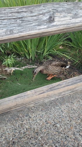
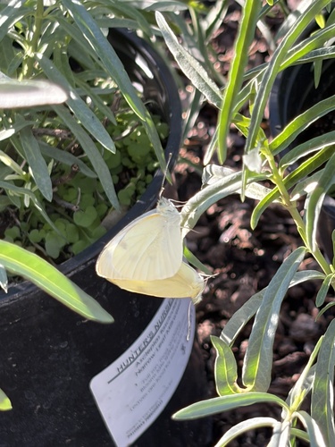
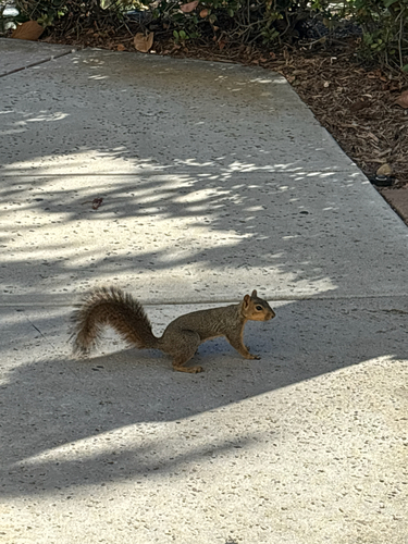
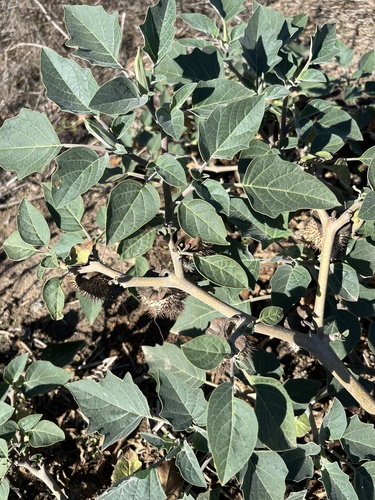
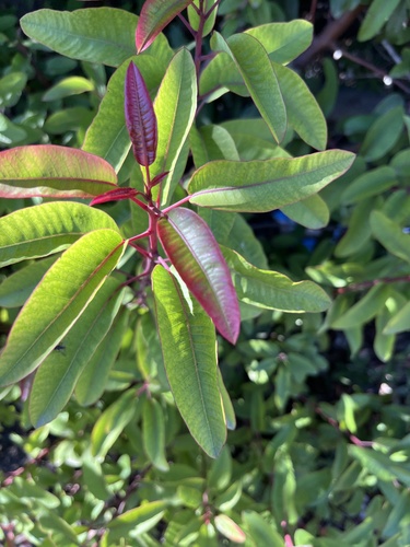
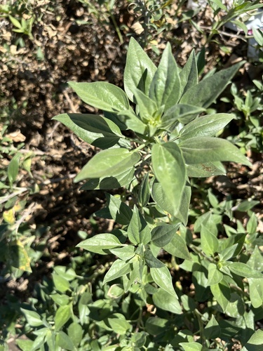
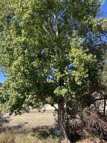
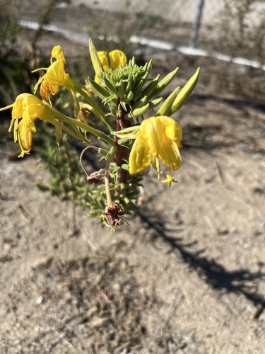
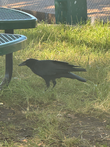
Research-grade observations from iNaturalist (within ~15 mi).
Nearest stream gauge
Live readings from USGS NWIS · measured 2026-10-16 06:15 UTC.
Events
Gallery
Sources
- • Wikipedia
- • US Census Bureau (ACS 5-year estimates)
- • NOAA National Weather Service
- • Wikidata
- • Open-Meteo Air Quality (CAMS)
- • USGS Earthquake Catalog (global feed)
- • USGS NWIS (water data)
- • NCES via Urban Institute Education Data Portal
- • GBIF (Global Biodiversity Information Facility)
- • iNaturalist
- • CDC PLACES
- • Open-Meteo / sunrise-sunset.org
- • Wikipedia Pageviews API
- • Open Library
- • NASA EONET