Browse / United States / California / Santee
Santee
Californiacity
Total population
59,332
Founded
1877
Demographic figures from US Census Bureau · ACS 5-year estimates. Overview below cites Wikipedia and may reference a different year.
- Extreme Heat Warning · SevereExtreme Heat Warning issued October 1 at 1:12PM PDT until October 8 at 8:00PM PDT by NWS San Diego CA
Source: NOAA National Weather Service.
City facts
Facts from Wikidata (CC0).
Overview
Santee is a city in San Diego County, California, United States. The population was 60,037 at the 2020 census. It is a part of the East County region. The city is bisected by the San Diego River, a linear greenbelt that includes parks, trails and more than 1,100 acres (450 ha) of natural habitat.
Read more on WikipediaHistory & geography
History
The region was the homeland of the Kumeyaay people. These original residents established the village of Sinyeweche on the banks of the San Diego River in the present-day Santee area. In 1877, George A. Cowles, a pioneer rancher and businessperson, purchased to develop his vineyards. The area became known as Cowlestown and was linked to the Cuyamaca Railroad. Three years after Cowles' death in 1887, his widow Jennie married Milton Santee. According to historian Harriette Wade, Jennie "lobbied hard" to rename Cowlestown to Santee in honor of her new husband, and a "reluctant vote of the citizens" approved the change in 1893. In 1980, residents voted in favor of incorporation after voting against it three years earlier, giving rise to the city of Santee.
Geography
Santee shares the northern part of a valley with the city of El Cajon. The city is bisected by the San Diego River, which flows east to west for approximately within the city limits. Hills form a natural barrier on its northern and western sides. At an altitude of , Rattlesnake Mountain is the highest point in Santee. Rattlesnake Mountain is home to the Sky Ranch community, and is topped with a large illuminated star during the holiday season. According to the Köppen Climate Classification system, Santee has a semi-arid climate, abbreviated BSk on climate maps.
Excerpted from the corresponding Wikipedia article (CC BY-SA).
Demographics & economy
Geography
Coordinates & boundaries from the US Census TIGER/Line shapefiles.
Climate
Current forecast
Forecast for Santee, CA from NOAA NWS API.
Air quality
Industrial & pollution facilities
Natural hazard risk
Health (adults)
Age-adjusted prevalence estimates from CDC PLACES (latest release).
Walkability
Amenities nearby
Wildlife & biodiversity
Most-observed species
- House FinchHaemorhous mexicanus (P.L.Statius Müller, 1776) · Aves61,599
- American CrowCorvus brachyrhynchos C.L.Brehm, 1822 · Aves55,988
- Anna's HummingbirdCalypte anna (R.Lesson, 1829) · Aves54,426
- Mourning DoveZenaida macroura (Linnaeus, 1758) · Aves47,881
- Black PhoebeSayornis nigricans (Swainson, 1827) · Aves47,019
- California TowheeMelozone crissalis (Vigors, 1839) · Aves46,663
- Lesser GoldfinchSpinus psaltria (Say, 1822) · Aves45,418
- Song SparrowMelospiza melodia (A.Wilson, 1810) · Aves39,401
Citizen-science & research observations from the Global Biodiversity Information Facility (GBIF).
Schools
Largest nearby schools
- Pacific Coast AcademyOther · Poway · 4,891 students · 32.6:1 ratio
- Cabrillo Point AcademyOther · Poway · 4,283 students · 29.5:1 ratio
- Henry HighHigh · San Diego · 2,607 students · 27.2:1 ratio
- Helix HighHigh · La Mesa · 2,502 students · 24.3:1 ratio
- Granite Hills HighHigh · El Cajon · 2,398 students · 24.7:1 ratio
- Hoover HighHigh · San Diego · 2,265 students · 23.1:1 ratio
- Mira Mesa HighHigh · San Diego · 2,219 students · 25.2:1 ratio
- Grossmont HighHigh · La Mesa · 2,175 students · 24.4:1 ratio
Public K–12 schools within ~10 mi from Urban Institute Education Data Portal (NCES Common Core of Data, 2022).
Earthquake history
Most recent
- M 2.51 — 2026-10-0531 km SW of Dana Point, CA
- M 2.81 — 2026-10-0532 km SW of Dana Point, CA
- M 3.48 — 2026-10-0531 km SW of Dana Point, CA
- M 3.08 — 2026-10-0120 km ESE of Anza, CA
- M 2.63 — 2026-09-239 km WNW of Anza, CA
- M 2.91 — 2026-08-3122 km SSW of La Quinta, CA
Events from the USGS Earthquake Catalog (global) (FDSN Event Web Service).
Photos
Sights & places nearby
Notable people from here


People born within ~10 km, from Wikidata (CC0). Click any name for their Wikipedia article.
Nearby places in California
- Bostonia3.6 mi away · pop. 16,765
- Poway9.4 mi away · pop. 48,713
- Jamul11.6 mi away · pop. 6,574
- Bonita12.6 mi away · pop. 12,652
- Rancho Santa Fe17 mi away · pop. 2,260
- Del Mar17.6 mi away · pop. 3,903
- Harmony Grove19.1 mi away · pop. 2,585
- Descanso20.8 mi away · pop. 1,590
- Potrero27.7 mi away · pop. 417
- Fallbrook38.4 mi away · pop. 32,112
- Rainbow39.4 mi away · pop. 2,029
- Borrego Springs45.1 mi away · pop. 2,700
Geography & sun
Elevation, sunrise/sunset and daylight from Open-Meteo. Solar climatology from NASA POWER.
Nearby airports
Public attention
Pageview totals from the Wikimedia Pageviews API.
Books about Santee
Search results from Open Library.
Recent natural events nearby
- Cyclone RachelSevere Storms · 2026-10-11 · 117 mi
- Wildfire BOUQUET, Los Angeles, CaliforniaWildfires · 2026-10-03 · 143 mi
- Wildfire RIDGE, Los Angeles, CaliforniaWildfires · 2026-08-07 · 171 mi
- Wildfire BUZZARD, Kern, CaliforniaWildfires · 2026-08-05 · 180 mi
- Wildfire CYRUS, Kern, CaliforniaWildfires · 2026-10-09 · 213 mi
- Wildfire PLAINS, San Luis Obispo, CaliforniaWildfires · 2026-08-12 · 247 mi
Wildfires, storms and other events from NASA EONET (last 12 months, within 250 mi).
Ground air-quality sensors
Recently spotted species
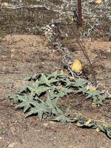
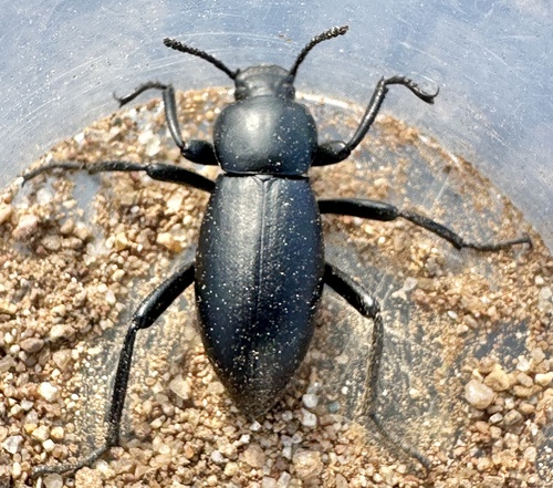
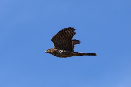
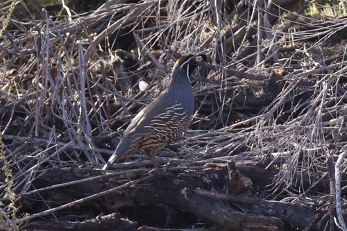
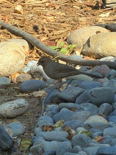
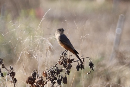

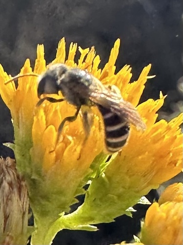
Research-grade observations from iNaturalist (within ~15 mi).
Nearest stream gauge
Events
Gallery
Sources
- • Wikipedia
- • NOAA National Weather Service
- • Wikidata
- • USGS Earthquake Catalog (global feed)
- • NCES via Urban Institute Education Data Portal
- • GBIF (Global Biodiversity Information Facility)
- • iNaturalist
- • CDC PLACES
- • Open-Meteo / sunrise-sunset.org
- • Wikipedia Pageviews API
- • Open Library
- • NASA EONET