Browse / United States / California / Whittier
Whittier
Californiacity

Whittier
Total population
85,594
Median home value
$862,000
Bachelor's+
Median income
$104,425
Demographic figures from US Census Bureau · ACS 5-year estimates. Overview below cites Wikipedia and may reference a different year.
- Red Flag Warning · SevereRed Flag Warning issued October 15 at 1:16PM PDT until October 17 at 8:00PM PDT by NWS Los Angeles/Oxnard CA
Source: NOAA National Weather Service.
City facts
Overview
Whittier is a city in Los Angeles County, California, United States. Part of the Gateway Cities, the 14.7-square-mile (38.0 km2) city had 87,306 residents as of the 2020 United States census. Whittier was incorporated in February 1898 and became a charter city in 1955. The city is named for the Quaker poet John Greenleaf Whittier and is home to Whittier College. The city is surrounded by four unincorporated areas sharing the Whittier name, West Whittier-Los Nietos, North Whittier, South Whittier, and East Whittier, which combined are home to a larger population than Whittier proper.
Read more on WikipediaHistory & geography
History
The Gabrielino first inhabited the area. Whittier's roots can be traced to Spanish soldier Manuel Nieto. In 1784, Nieto received a Spanish land grant of , Rancho Los Nietos, as a reward for his military service and to encourage settlement in California. Gerkens later become the Los Angeles Police Department's first chief of police. His land was owned by several others before a group of Quakers purchased it and expanded it to , intending to found a Quaker community. The area soon became known as a thriving citrus ranching region, with "Quaker Brand" fruit shipped all over the United States. Beginning in 1887, walnut trees were planted, and Whittier became the nation's largest walnut grower. Thus in 1887 "enterprising and aggressive businessmen" contracted with the Southern Pacific Railroad to build the first railroad spur to Whittier, including a depot. The businessmen covered the $43,000 construction cost for the six-mile spur, which branched off from the Southern Pacific mainline at a junction near what is now Studebaker Road between Firestone Boulevard and Imperial Highway. By 1906, 650 carloads of oranges and 250 carloads of lemons were shipped annually by rail. In 1904, the Pacific Electric opened the trolley line known as "Big Red Cars" from Los Angeles to Whittier. In the first two decades, over a million passengers a year rode to and from Los Angeles on the Whittier Line. Whittier even had a branch of the Silver Shirts. Liquor sales were forbidden in the city; Bailey's Liquor Store was just outside the city limits. Richard Nixon, though born and buried in Yorba Linda, grew up in East Whittier. He attended and played football at Whittier High School (1928–1930) and Whittier College (1930–1934) In the 1930s, Nixon's law office was in the National Bank of Whittier…
Geography
According to the United States Census Bureau, the city has an area of , virtually all land. Whittier is bordered by Hacienda Heights to the northeast, City of Industry to the north, and several other unincorporated communities in the San Gabriel Valley mostly along its northern sections. Pico Rivera lies to the west, La Habra Heights to the east, La Habra to the southeast, and Santa Fe Springs to the south. Whittier has several neighborhoods. The area around Philadelphia Street and Greenleaf Avenue is known as Uptown Whittier and contains the traditional central business core. Just north of it are the neighborhoods known as Central Park and Hadley-Greenleaf. They have been designated historic districts by the city Historic Resources Commission and comprise most of the Whittier Historic Neighborhood Association area. These districts contain many Craftsman and Spanish Colonial Revival homes. In and abutting the hills north of the historic districts is Starlite Estates. The area surrounding Whittier College is known as College Hills and was also designated a historic district, as has a small cluster of homes along Earlham Drive. | date = February 2011 }}
Excerpted from the corresponding Wikipedia article (CC BY-SA).
Demographics & economy
Race & ethnicity
Source: US Census Bureau — American Community Survey, 5-year estimates.
Geography
Coordinates & boundaries from the US Census TIGER/Line shapefiles.
Climate
Current forecast
Forecast for Whittier, CA from NOAA NWS API.
Air quality
Industrial & pollution facilities
Natural hazard risk
Health (adults)
Age-adjusted prevalence estimates from CDC PLACES (latest release).
Walkability
Amenities nearby
Wildlife & biodiversity
Schools
Largest nearby schools
- Downey HighHigh · Downey · 4,063 students · 23.4:1 ratio
- Paramount HighHigh · Paramount · 3,737 students · 20.5:1 ratio
- Warren (Earl) HighHigh · Downey · 3,437 students · 23.7:1 ratio
- Mayfair HighHigh · Lakewood · 2,578 students · 22.6:1 ratio
- California HighHigh · Whittier · 2,504 students · 23.2:1 ratio
- La Serna HighHigh · Whittier · 2,410 students · 25.9:1 ratio
- Options For Youth - Duarte IncHigh · City Of Industry · 2,354 students · 28:1 ratio
- Bell Senior HighHigh · Bell · 2,351 students · 22:1 ratio
Public K–12 schools within ~10 mi from Urban Institute Education Data Portal (NCES Common Core of Data, 2022).
Earthquake history
Photos
Sights & places nearby
Notable people from here


People born within ~10 km, from Wikidata (CC0). Click any name for their Wikipedia article.
Nearby places in California
- East Whittier3.4 mi away
- Avocado Heights5.1 mi away
- La Puente5.9 mi away · pop. 37,142
- Cerritos7.4 mi away · pop. 47,867
- Artesia7.7 mi away
- Commerce7.7 mi away · pop. 11,993
- North El Monte9.4 mi away
- East Los Angeles9.6 mi away
- Hawaiian Gardens9.9 mi away · pop. 13,691
- Cypress10.3 mi away · pop. 49,498
- Los Alamitos12 mi away · pop. 11,794
- East Pasadena12.2 mi away
Geography & sun
Elevation, sunrise/sunset and daylight from Open-Meteo. Solar climatology from NASA POWER.
Nearby airports
Public attention
Pageview totals from the Wikimedia Pageviews API.
Books about Whittier

Search results from Open Library.
Recent natural events nearby
- Wildfire BOUQUET, Los Angeles, CaliforniaWildfires · 2026-10-03 · 47 mi
- Wildfire RIDGE, Los Angeles, CaliforniaWildfires · 2026-08-07 · 73 mi
- Wildfire BUZZARD, Kern, CaliforniaWildfires · 2026-08-05 · 82 mi
- Wildfire CYRUS, Kern, CaliforniaWildfires · 2026-10-09 · 122 mi
- Cyclone RachelSevere Storms · 2026-10-11 · 150 mi
- Wildfire PLAINS, San Luis Obispo, CaliforniaWildfires · 2026-08-12 · 151 mi
- Prescribed Fire CRAWFORD CORRAL RX, Tulare, CaliforniaWildfires · 2026-09-19 · 190 mi
- Wildfire Plaskett, Monterey, CaliforniaWildfires · 2026-08-26 · 234 mi
Wildfires, storms and other events from NASA EONET (last 12 months, within 250 mi).
Ground air-quality sensors
Recently spotted species
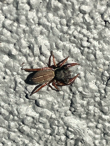
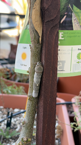
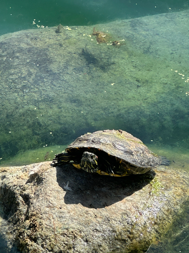
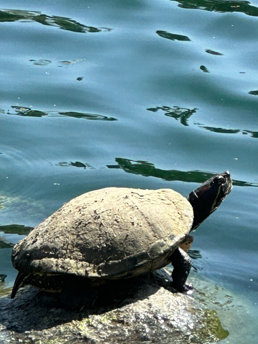
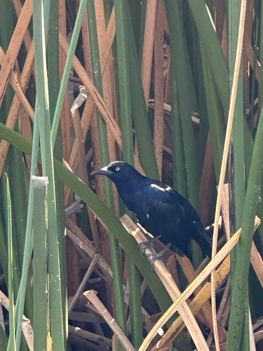
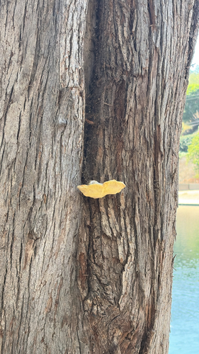
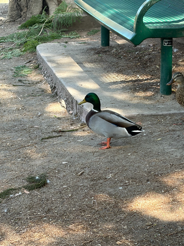
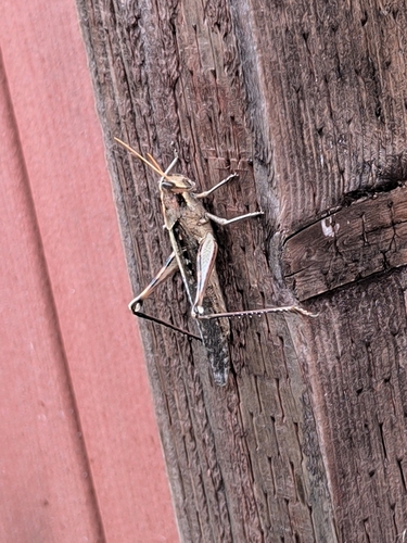
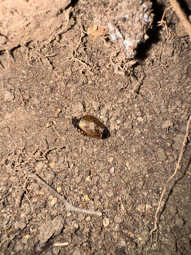
Research-grade observations from iNaturalist (within ~15 mi).
Nearest stream gauge
Events
Gallery
Sources
- • Wikipedia
- • US Census Bureau (ACS 5-year estimates)
- • NOAA National Weather Service
- • Wikidata
- • NCES via Urban Institute Education Data Portal
- • iNaturalist
- • CDC PLACES
- • Open-Meteo / sunrise-sunset.org
- • Wikipedia Pageviews API
- • Open Library
- • NASA EONET