Browse / Ireland / Meath / Slane
Slane
Meathvillage

Slane
Demographic figures from Central Statistics Office (Ireland). Overview below cites Wikipedia and may reference a different year.
City facts
Facts from Wikidata (CC0).
Overview
Slane is a village in County Meath, in Ireland. The village stands on a steep hillside on the left bank of the River Boyne at the intersection of the N2 and the N51. As of the 2022 census, Slane's population was 1,445. The village and surrounding area contains many historic sites dating back over 5,000 years. The village centre, as it is laid-out today, dates mainly from the 18th century. The village is in a townland and civil parish of the same name.
Read more on WikipediaHistory & geography
History
The area and its surroundings have been inhabited since at least the Neolithic era. Habitation at the Hill of Slane settlement and upon the introduction of Christianity is attested in the Annals of Inisfallen and hagiography of Saint Patrick. The earliest surviving structures within the boundaries of the modern-day village were built by the invading Norman family of the Flanders (now Fleming), during the Norman invasion of Ireland. The most relatively undisturbed structure, built under the feudal lordship of this family, is a motte and bailey, which is in close proximity to the Hill of Slane settlement. Following the Williamite confiscations, which saw the Flemings dispossessed, the present form of the Castle and the village centre were re-cast and in the latter case, laid out as a model British village by the Ulster plantation family of the Conynghams, in what is considered a typical example of 18th-century town planning. As part of this remodelling, today in the centre of the village stand four nearly identical Georgian houses. The four houses stand at the intersection of the two main streets in the village. While the four faces of the houses and the four open streets form an octagon. The feature is known as The Square due to what is seen as the vertex position, that each house occupies. The southwesternmost house that forms the square, served as the Royal Irish Constabulary barracks and gaol, up until the founding of the Irish State. The two main streets in the village feature 18th-century grey limestone buildings with slate roofs, oriel windows and archways. The village centre also incorporates "Gallows hill", the foot of which is essentially the location of the present day "Slane Credit Union" and a hill so named for the United Irishmen who were publicly…
Excerpted from the corresponding Wikipedia article (CC BY-SA).
Geography
Coordinates & boundaries from the US Census TIGER/Line shapefiles.
Climate
Air quality
Walkability
Amenities nearby
Wildlife & biodiversity
Earthquake history
Photos
Sights & places nearby
Notable people from here


People born within ~10 km, from Wikidata (CC0). Click any name for their Wikipedia article.
Nearby places in Meath
Geography & sun
Elevation, sunrise/sunset and daylight from Open-Meteo. Solar climatology from NASA POWER.
Nearby airports
Public attention
Pageview totals from the Wikimedia Pageviews API.
Books about Slane
Search results from Open Library.
Recent natural events nearby
Ground air-quality sensors
Recently spotted species
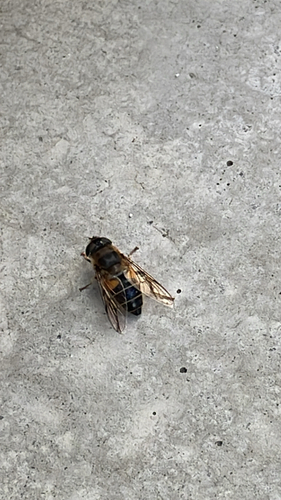
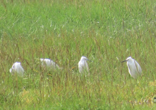
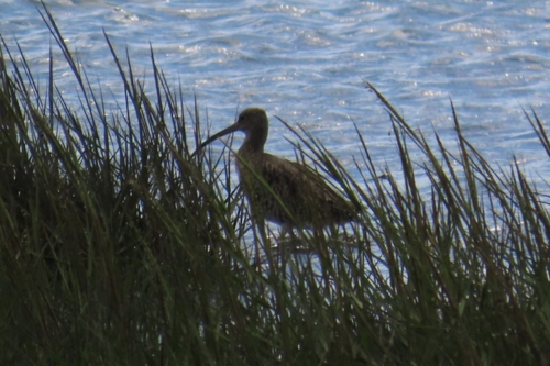
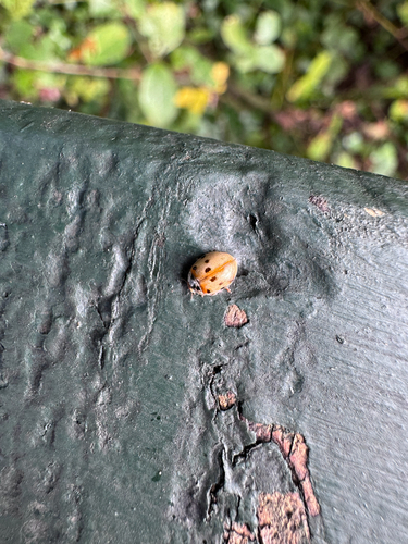
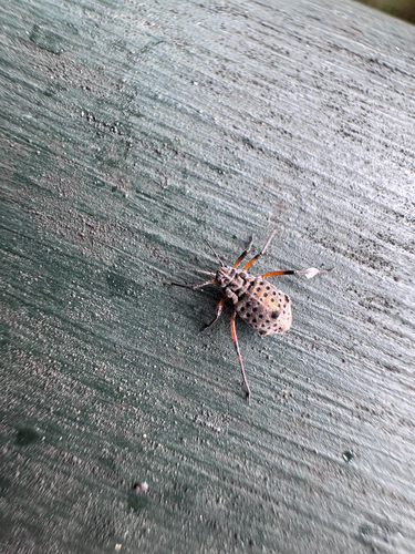
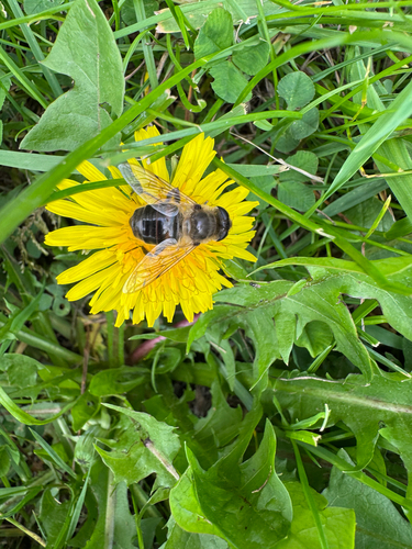
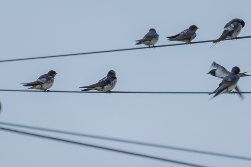
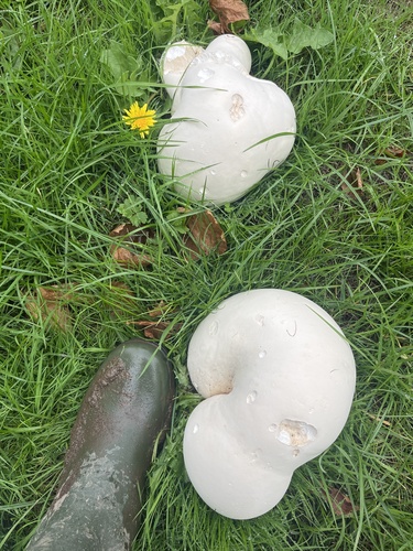
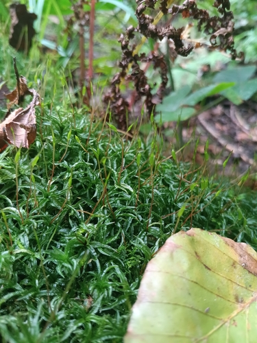
Research-grade observations from iNaturalist (within ~15 mi).
Events
Gallery
Sources
- • Wikipedia
- • Wikidata
- • iNaturalist
- • Open-Meteo / sunrise-sunset.org
- • Wikipedia Pageviews API
- • Open Library