Browse / United Kingdom / England / Croydon
Croydon
Englandtown

Croydon
Total population
173,314
Air quality index
Demographic figures from UK Office for National Statistics. Overview below cites Wikipedia and may reference a different year.
City facts
Sister cities
Facts from Wikidata (CC0).
Overview
Croydon is a large town in South London, England, 9.5 miles (15 km) south of Charing Cross. Part of the London Borough of Croydon, a local government district of Greater London; it is one of the largest commercial districts in Greater London, with an extensive shopping area. The entire town had a population of 192,064 as of 2011, whilst the wider borough had a population of 384,837.
Read more on WikipediaHistory & geography
History
The town lies on the line of the Roman road from London to Portslade, and there is some archaeological evidence for small-scale Roman settlement in the area: there may have been a mansio (staging-post) here. Later, in the 5th to 7th centuries, a large pagan Saxon cemetery was situated on what is now Park Lane, although the extent of any associated settlement is unknown. By the late Saxon period Croydon was the hub of an estate belonging to the Archbishops of Canterbury. The church and the archbishops' manor house were situated in the area still known as "Old Town". The archbishops used the manor house as an occasional place of residence: as lords of the manor they dominated the life of the town well into the early modern period, and as local patrons they continue to have an influence. The earliest known mention of Croydon is in a Saxon chronicle of 809, where the name is spelt Crogeden (the modern spelling did not appear until the 13th century). The church had been established in the middle Saxon period, and was probably a minster church, a base for a group of clergy living a communal life. A charter issued by King Coenwulf of Mercia refers to a council that had taken place close to the monasterium (meaning minster) of Croydon. An Anglo-Saxon will made in about 960 is witnessed by Elfsies, priest of Croydon; and the church is also mentioned in Domesday Book. In 1264, the only battle reputed to have been fought in Croydon is said to have occurred. Following the defeat of Henry III at the Battle of Lewes, a London contingent was reportedly intercepted at Norbury by Royalist troops from Tonbridge and killed. One account suggests that the king’s forces lay in ambush in Norwood Forest and that the clash took place near Hermitage Bridge, close to an enclosure long known…
Geography
Croydon town centre is near the centre of the borough of Croydon, to the north of the North Downs and the Pilgrims' Way path. To the north of Croydon are typical London districts, whereas a short distance southeast (such as Coombe and Selsdon) is green, hilly and rural land. To the west are industrial areas, part of which are in the London Borough of Sutton. The southern suburbs are mainly affluent and also hilly. The town centre is bordered by Waddon immediately southwest of central Croydon. To the west, inside the London Borough of Sutton lies Beddington. To the north are Broad Green, Thornton Heath and Selhurst. To the south lies South Croydon, and going further south are Purley and Sanderstead. To the east lie Addiscombe and Shirley. Croydon High Street runs from South Croydon up to the point where it meets the street called North End. North End is the main shopping street, while Croydon High Street is the main restaurant quarter. The High Street is also home to Wrencote House, a Grade II* listed building. Dating from the late 17th or early 18th centuries, and probably built as a merchant's house, it has a distinctive "H" plan form over its four floors (including basement and attic storey). External features include a rich red brick facade with black headers, and a heavily carved and enriched wooden eaves cornice. Wellesley Road on the A212 road forms a north–south axis through the town centre. In line with London Plan policy, there have been a number of proposals to create greater integration between East Croydon station, which lies on one side of the A212, and the town centre of Croydon, which lies on the other side of it. Croydon Vision 2020 aims to tackle this though such solutions as making the road easier for pedestrians to cross by creating a centre…
Excerpted from the corresponding Wikipedia article (CC BY-SA).
Geography
Coordinates & boundaries from the US Census TIGER/Line shapefiles.
Climate
Air quality
Current readings from Open-Meteo Air Quality API (Copernicus CAMS European reanalysis).
Walkability
Amenities nearby
Wildlife & biodiversity
Most-observed species
- Common Wood-PigeonColumba palumbus Linnaeus, 1758 · Aves48,885
- Carrion CrowCorvus corone Linnaeus, 1758 · Aves46,520
- Eurasian MagpiePica pica (Linnaeus, 1758) · Aves44,922
- European RobinErithacus rubecula (Linnaeus, 1758) · Aves42,845
- Rose-ringed ParakeetPsittacula krameri (Scopoli, 1769) · Aves41,726
- Rock PigeonColumba livia J.F.Gmelin, 1789 · Aves39,008
- Eurasian Blue TitCyanistes caeruleus (Linnaeus, 1758) · Aves35,632
- Great TitParus major Linnaeus, 1758 · Aves34,813
Citizen-science & research observations from the Global Biodiversity Information Facility (GBIF).
Earthquake history
Most recent
- M 3.1 — 2020-09-225 km N of Aylesbury, United Kingdom
- M 3.9 — 2020-09-082 km WSW of Pitstone, United Kingdom
- M 3.3 — 2019-02-273 km SE of Dorking, United Kingdom
- M 2.8 — 2018-07-051 km S of Ewhurst, United Kingdom
- M 2.6 — 2018-06-275 km W of Capel, United Kingdom
- M 2.7 — 2018-04-014 km E of Holmwood, United Kingdom
Events from the USGS Earthquake Catalog (global) (FDSN Event Web Service).
Photos
Sights & places nearby
Notable people from here


People born within ~10 km, from Wikidata (CC0). Click any name for their Wikipedia article.
Nearby places in England
Geography & sun
Elevation, sunrise/sunset and daylight from Open-Meteo. Solar climatology from NASA POWER.
Nearby airports
Public attention
Pageview totals from the Wikimedia Pageviews API.
Books about Croydon

Search results from Open Library.
Recent natural events nearby
Ground air-quality sensors
Recently spotted species
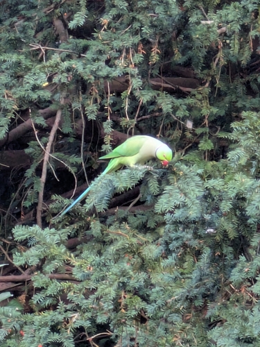
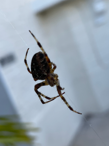
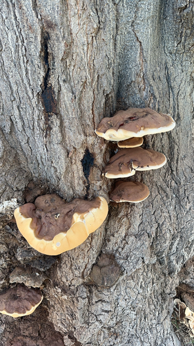
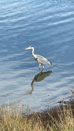
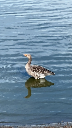
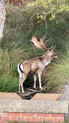
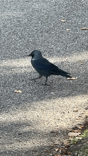
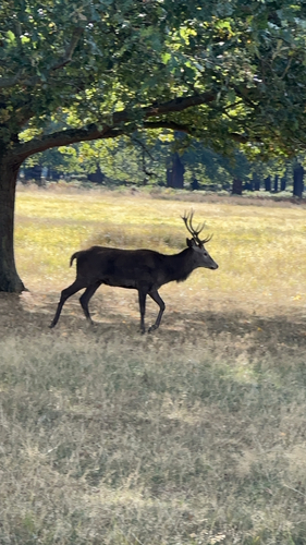
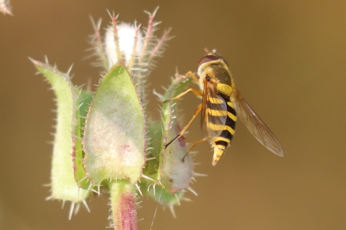
Research-grade observations from iNaturalist (within ~15 mi).
Events
Gallery
Official Identifiers
ONS — UK Office for National Statistics
- ONS code
- osgb4000000074575690
- Local type
- Other Settlement
- Region
- London
api.postcodes.io / OS Open Names
Sources
- • Wikipedia
- • Wikidata
- • Open-Meteo Air Quality (CAMS)
- • USGS Earthquake Catalog (global feed)
- • GBIF (Global Biodiversity Information Facility)
- • iNaturalist
- • Open-Elevation
- • Open-Meteo / sunrise-sunset.org
- • Wikipedia Pageviews API
- • Open Library
- • Wikidata SPARQL (CC0) — population, area, elevation, inception, head of government, Commons image
- • ONS / OS Open Names — UK official place gazetteer, via api.postcodes.io (OS code, local type, county/unitary, district/borough, region)
- • ONS — UK Office for National Statistics — api.postcodes.io / OS Open Names