Browse / United Kingdom / England / Ealing
Ealing
Englandtown

Ealing
Total population
113,777
Air quality index
Demographic figures from UK Office for National Statistics. Overview below cites Wikipedia and may reference a different year.
City facts
Facts from Wikidata (CC0).
Overview
Ealing is a district in west London, England, 7.5 miles (12.1 km) west of Charing Cross in the London Borough of Ealing. It is the administrative centre of the borough and is identified as a major metropolitan centre in the London Plan.
Read more on WikipediaHistory & geography
History
Ealing's name derives from the Gillingas, a Saxon tribe mentioned in a charter issued by Æthelred of Mercia around the year 700. The Gillingas themselves took their name from a patriarch or chief called Gilla. The place-name appears as Yllinges around the year 1170 and as Elyng in 1553. The typical stone tool type of neanderthals, the Mousterian, is not found in south-east England, but Levallois type may be consistent with the hand axes found. The Church of St. Mary's, the parish church's priest for centuries fell to be appointed by the Bishop of London, earliest known to be so in , when he gave the great tithes to Canon Henry for keeping St. Paul's cathedral school. The church required frequent repair in the 1650s and was so ruinous in about 1675 that services were held elsewhere for several years. Worshippers moved to a wooden tabernacle in 1726 and the steeple fell in 1729, destroying the church, before its rebuilding. Ealing had an orchard in 1540 and others in 1577–8 and 1584. The earliest maps of just the parish of Ealing survive from the 18th century; John Speed and others having made maps of Middlesex, more than two centuries before. At Ealing a fair was held on the green in 1822, when William Cobbett chronicled he was diverted by crowds of Cockneys headed there. The fair, of unknown origin, was held from 24 to 26 June until suppressed in 1880. During the Victorian period, Ealing became a town. This meant that good, well-metalled roads had to be built, and schools and public buildings erected. To protect public health, the newly created Board of Health for Ealing commissioned London's first modern drainage and sewage systems here. Just as importantly, drinking fountains providing wholesome and safe water were erected by public prescription. Ealing…
Geography
Ealing is in the heart of west London. A relatively narrow section of the A406 North Circular Road, London bisects the east of it. The M4 motorway also runs almost adjacent to the south. It is less than two miles from the Tideway (London's upper estuary of the Thames) at the local apex of Kew Bridge that links to the London Borough of Richmond upon Thames. Ealing has parks and open spaces, such as Ealing Common, Walpole, Lammas, Cleveland, Hanger Hill, Montpelier, and Pitshanger Parks. The River Brent flows through the latter.
Excerpted from the corresponding Wikipedia article (CC BY-SA).
Geography
Coordinates & boundaries from the US Census TIGER/Line shapefiles.
Climate
Air quality
Current readings from Open-Meteo Air Quality API (Copernicus CAMS European reanalysis).
Walkability
Amenities nearby
Wildlife & biodiversity
Most-observed species
- Common Wood-PigeonColumba palumbus Linnaeus, 1758 · Aves73,185
- Carrion CrowCorvus corone Linnaeus, 1758 · Aves68,443
- Eurasian MagpiePica pica (Linnaeus, 1758) · Aves67,266
- European RobinErithacus rubecula (Linnaeus, 1758) · Aves63,988
- Rose-ringed ParakeetPsittacula krameri (Scopoli, 1769) · Aves61,320
- Rock PigeonColumba livia J.F.Gmelin, 1789 · Aves59,045
- Eurasian Blue TitCyanistes caeruleus (Linnaeus, 1758) · Aves53,862
- Great TitParus major Linnaeus, 1758 · Aves53,619
Citizen-science & research observations from the Global Biodiversity Information Facility (GBIF).
Earthquake history
Most recent
- M 3.1 — 2020-09-225 km N of Aylesbury, United Kingdom
- M 3.9 — 2020-09-082 km WSW of Pitstone, United Kingdom
- M 3.3 — 2019-02-273 km SE of Dorking, United Kingdom
- M 2.8 — 2018-07-051 km S of Ewhurst, United Kingdom
- M 2.6 — 2018-06-275 km W of Capel, United Kingdom
- M 2.7 — 2018-04-014 km E of Holmwood, United Kingdom
Events from the USGS Earthquake Catalog (global) (FDSN Event Web Service).
Photos
Sights & places nearby
Notable people from here


People born within ~10 km, from Wikidata (CC0). Click any name for their Wikipedia article.
Nearby places in England
Geography & sun
Elevation, sunrise/sunset and daylight from Open-Meteo. Solar climatology from NASA POWER.
Nearby airports
Public attention
Pageview totals from the Wikimedia Pageviews API.
Books about Ealing


Search results from Open Library.
Recent natural events nearby
Ground air-quality sensors
Recently spotted species
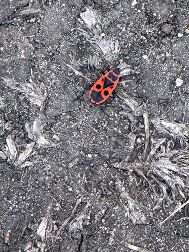
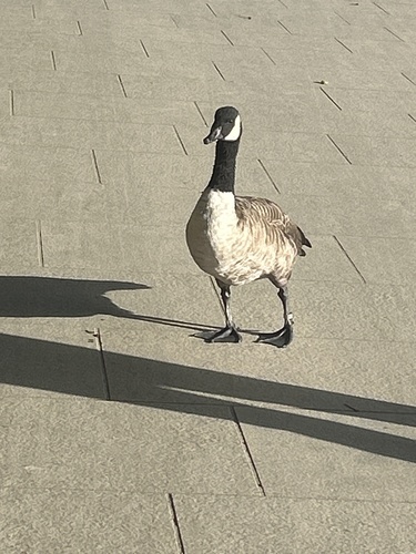
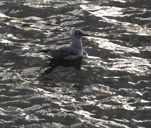
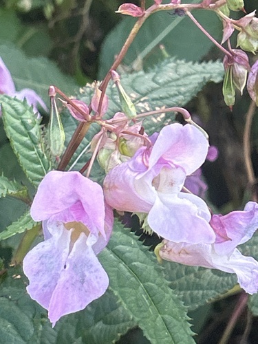
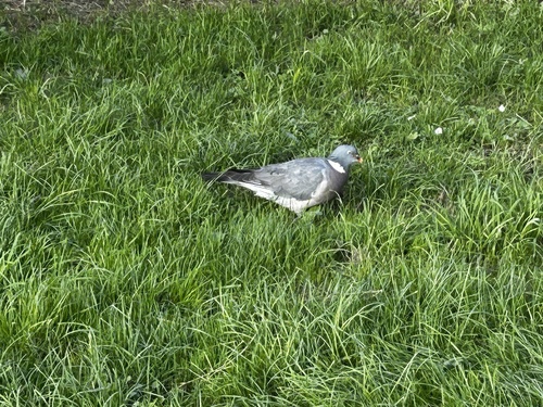
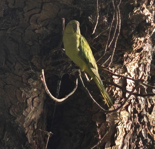
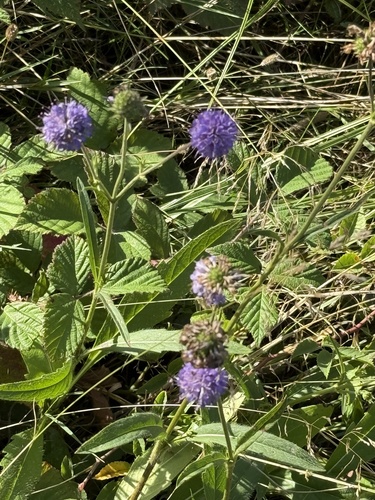
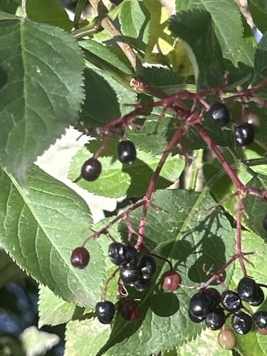
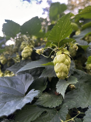
Research-grade observations from iNaturalist (within ~15 mi).
Events
Gallery
Geotagged photos within ~6 miles of Ealing, from Wikimedia Commons contributors.
 0 mi
0 mi 0 mi
0 mi 0 mi
0 mi 0 mi
0 mi.jpg) 0 mi
0 mi 0 mi
0 mi.jpg) 0 mi
0 mi 0 mi
0 mi 0 mi
0 mi 0 mi
0 mi 0 mi
0 mi 0 mi
0 mi 0 mi
0 mi 0 mi
0 mi 0 mi
0 mi 0 mi
0 mi_-_geograph.org.uk_-_6369270.jpg) 0 mi
0 mi 0 mi
0 mi 0.1 mi
 0.1 mi
 0.1 mi
 0.1 mi
 0.1 mi
 0.1 mi
Photos via Wikimedia Commons — see each image page for license & attribution.
Official Identifiers
ONS — UK Office for National Statistics
- ONS code
- osgb4000000074343892
- Local type
- Other Settlement
- Region
- London
api.postcodes.io / OS Open Names
Sources
- • Wikipedia
- • Wikimedia Commons
- • Wikidata
- • Open-Meteo Air Quality (CAMS)
- • USGS Earthquake Catalog (global feed)
- • GBIF (Global Biodiversity Information Facility)
- • iNaturalist
- • Open-Meteo / sunrise-sunset.org
- • Wikipedia Pageviews API
- • Open Library
- • Wikidata SPARQL (CC0) — population, area, elevation, inception, head of government, Commons image
- • ONS / OS Open Names — UK official place gazetteer, via api.postcodes.io (OS code, local type, county/unitary, district/borough, region)
- • ONS — UK Office for National Statistics — api.postcodes.io / OS Open Names