Browse / United Kingdom / England / Greenwich
Greenwich
Englandtown

Greenwich
Total population
285,000
Demographic figures from UK Office for National Statistics. Overview below cites Wikipedia and may reference a different year.
City facts
Facts from Wikidata (CC0).
Overview
Greenwich is an affluent area in south-east London, England, within the Royal Borough of Greenwich and the ceremonial county of Greater London, 5.5 miles (8.9 km) east-south-east of Charing Cross. It contains the UNESCO World Heritage Site of Maritime Greenwich.
Read more on WikipediaHistory & geography
History
The place-name 'Greenwich' is first attested in an Anglo-Saxon charter of 918, where it appears as Gronewic. It is recorded as Grenewic in 964, and as Grenawic in the Anglo-Saxon Chronicle for 1013. It is Grenviz in the Domesday Book of 1086, and Grenewych in the Taxatio Ecclesiastica of 1291. The name means 'green wic', indicating that Greenwich was what is known as a -wich town or emporium, from the Latin 'vicus'. The settlement later became known as East Greenwich to distinguish it from West Greenwich or Deptford Strond, the part of Deptford adjacent to the River Thames, but the use of East Greenwich to mean the whole of the town of Greenwich died out in the 19th century. However, Greenwich was divided into the registration subdistricts of Greenwich East and Greenwich West from the beginning of civil registration in 1837, the boundary running down what is now Greenwich Church Street and Croom's Hill, although more modern references to "East" and "West" Greenwich probably refer to the areas east and west of the Royal Naval College and National Maritime Museum corresponding with the West Greenwich council ward. An article in The Times of 13 October 1967 stated: East Greenwich, gateway to the Blackwall Tunnel, remains solidly working class, the manpower for one eighth of London's heavy industry. West Greenwich is a hybrid: the spirit of Nelson, the Cutty Sark, the Maritime Museum, an industrial waterfront and a number of elegant houses, ripe for development. Royal charters granted to English colonists in North America, as well as in Company Bombay and St Helena, often used the name of the manor of East Greenwich for describing the tenure (from the Latin verb teneo, hold) as that of free socage. New England charters provided that the grantees should hold their lands…
Geography
The town of Greenwich is built on a broad platform to the south of the outside of a broad meander in the River Thames, with a safe deep water anchorage lying in the river. To the south, the land rises steeply, through Greenwich Park to the town of Blackheath. The higher areas consist of a sedimentary layer of gravelly soils, known as the Blackheath Beds, that spread through much of the south-east over a chalk outcrop—with sands, loam and seams of clay at the lower levels by the river. Greenwich is bordered by Deptford Creek and Deptford to the west; the residential area of Westcombe Park to the east; the River Thames to the north; and the A2 and Blackheath to the south. The Greenwich Peninsula, northeast of the town centre and also known as North Greenwich, forms the main projection of the town. Across the River Thames to the north lies the Isle of Dogs, a riverside district that includes Millwall, a largely residential area, and Canary Wharf, one of London's principal financial and business centres. To the west, beyond Deptford Creek, is Deptford, an area known for its maritime history, cultural diversity, and creative industries. To the east is Charlton, a predominantly residential district with historic landmarks and extensive green spaces. The Greenwich Peninsula lies to the north-east and is a major regeneration area, home to large-scale residential developments, entertainment venues, and the O2. To the south are Blackheath, an affluent village characterised by its large open heath, and Lewisham, a significant town centre and transport hub within south-east London undergoing redevelopment. To the south-west is St John's, a mainly residential neighbourhood with Victorian housing, while to the south-east lies Kidbrooke, an area with new housing and improved…
Excerpted from the corresponding Wikipedia article (CC BY-SA).
Geography
Coordinates & boundaries from the US Census TIGER/Line shapefiles.
Climate
Air quality
Walkability
Amenities nearby
Wildlife & biodiversity
Earthquake history
Photos
Sights & places nearby
Notable people from here
Nearby places in England
Geography & sun
Elevation, sunrise/sunset and daylight from Open-Meteo. Solar climatology from NASA POWER.
Nearby airports
Public attention
Pageview totals from the Wikimedia Pageviews API.
Books about Greenwich
Search results from Open Library.
Recent natural events nearby
Ground air-quality sensors
Recently spotted species
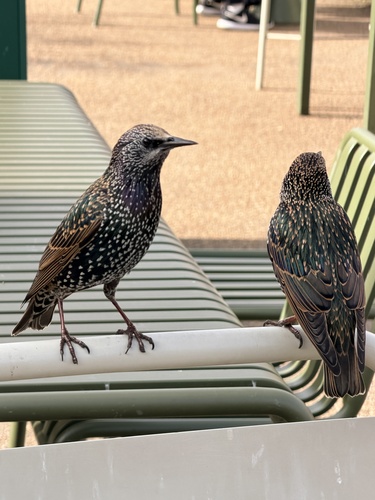
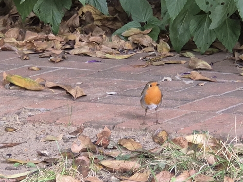
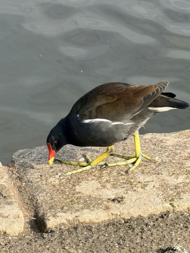
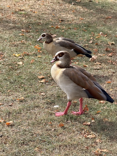
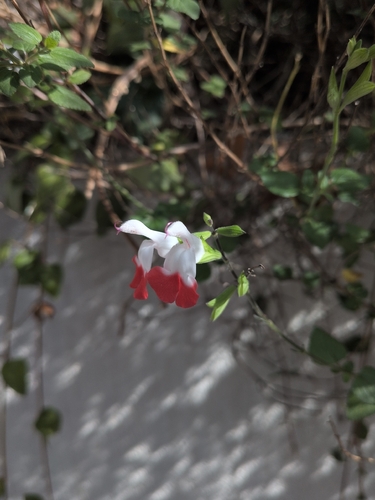
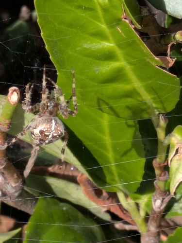
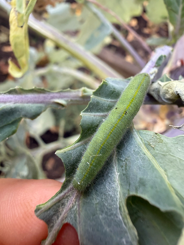
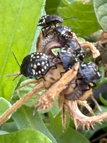
Research-grade observations from iNaturalist (within ~15 mi).
Events
Notable, recurring, and historical events associated with Greenwich, sourced from Wikidata.
Source: Wikidata (CC0).
Gallery
Official Identifiers
ONS — UK Office for National Statistics
- ONS code
- osgb4000000074578783
- Local type
- Other Settlement
- Region
- London
api.postcodes.io / OS Open Names
Sources
- • Wikipedia
- • Wikidata
- • iNaturalist
- • Open-Meteo / sunrise-sunset.org
- • Wikipedia Pageviews API
- • Open Library
- • Wikidata SPARQL (CC0) — population, area, elevation, inception, head of government, Commons image
- • ONS / OS Open Names — UK official place gazetteer, via api.postcodes.io (OS code, local type, county/unitary, district/borough, region)
- • ONS — UK Office for National Statistics — api.postcodes.io / OS Open Names