Pierce County · North Dakota
Rugby, North Dakota: The Town That Claims to Be the Center of North America
For nearly a century, Rugby has claimed — with a stone obelisk and a 1931 US Geological Survey letter — to be the geographic center of North America. A nearby bar has spent the last decade trying to steal the title.

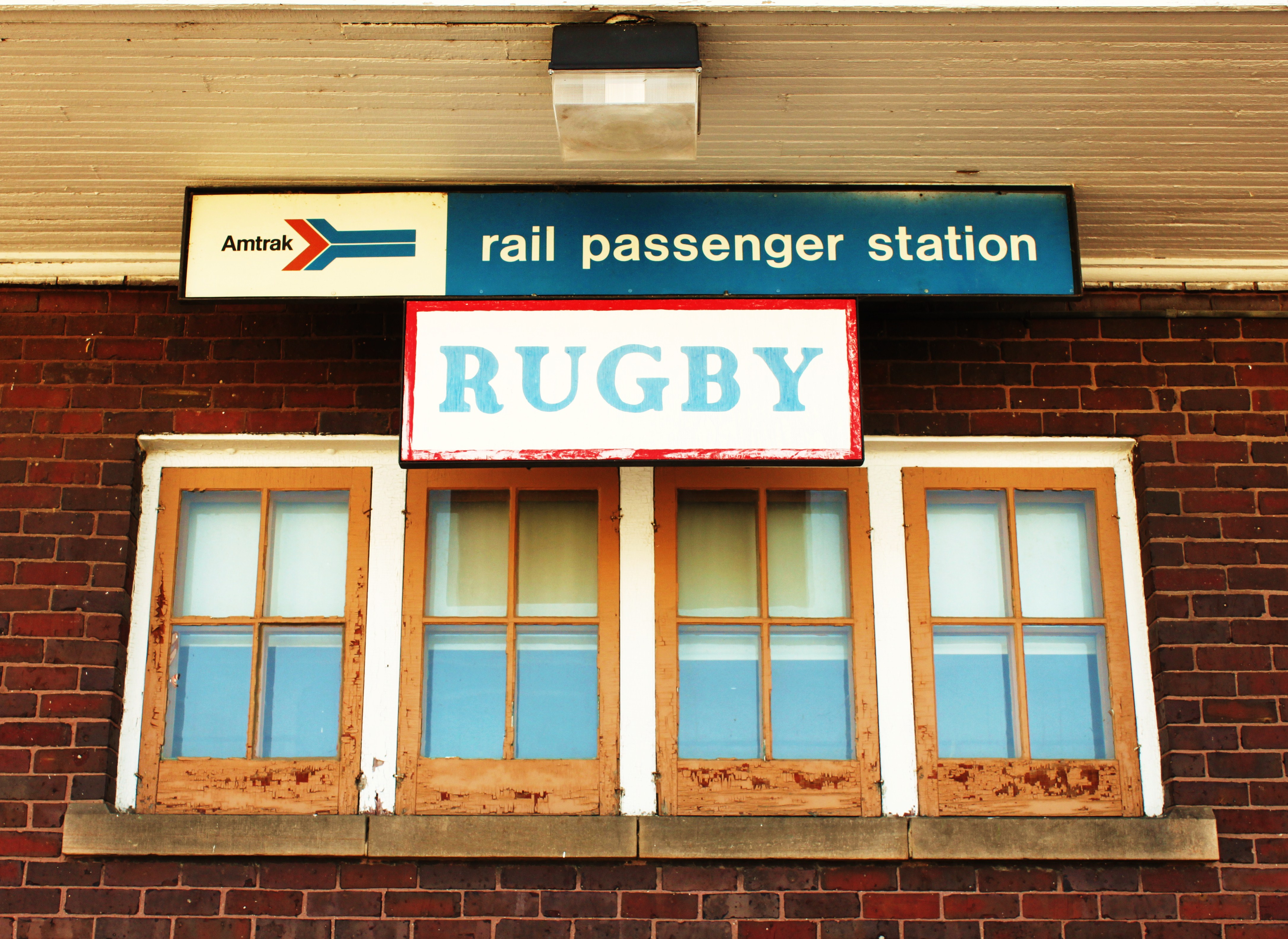
Rugby is a small farming town in north-central North Dakota with a population of about 2,500. Since 1931 it has marketed itself as the geographic center of North America — a claim that has powered tourism, postcards, and a 4.5-metre stone obelisk in the middle of town. The claim is also, technically, contestable. And in the 2010s, somebody finally contested it.
Where the claim came from
The story begins with a 1931 letter from the US Geological Survey naming a point near Rugby — calculated by balancing a cardboard cutout of North America on a pin — as the continent's geographic center. The local chamber of commerce quickly built a stone monument at the town's main intersection, and Rugby has been printing the title on its city limits signs ever since. Tourism brochures list the monument as one of the town's two main attractions, alongside the Prairie Village Museum.
The bar that fought back
In 2015, a geography professor at the University of Buffalo, Peter Rogerson, applied a more modern algorithm — the so-called azimuthal equidistant projection — and concluded that the true geographic center of North America was actually 145 miles north-west of Rugby, in a town called Robinson, North Dakota (population 37).
A local bar owner there, Bill Bender, immediately filed paperwork to trademark the new claim and renamed his establishment the "Geographic Center Bar." His promotional efforts included setting up a small monument outside the bar and lobbying the state legislature. Rugby's residents responded with a mix of indignation and amusement, and the original monument remains the official one. For now.
What "the center" actually means
There is no single agreed definition of the geographic center of a continent. Depending on whether you include islands (Hawaii, the Aleutians, Greenland), whether the boundary at Panama is used, and which mathematical method you apply (centroid, center of population, equidistant projection), the answer moves by hundreds of miles. Rugby's claim, like every other, is essentially a marketing fact dressed up as a geographic one. In a town this small, that's still more than enough to drive a few thousand visitors past the obelisk each year.
Fun facts
- Rugby's full official slogan, painted on water towers: "Geographical Center of North America."
- The monument is at the intersection of US-2 and ND-3, two of the longest east-west and north-south roads in the state.
- The Rogerson calculation actually predicted multiple candidate points; Robinson, ND, was the closest inhabited place to one of them.
- There is also a competing claim from Belle Fourche, South Dakota — for the geographic center of the United States alone.
Gallery


Sources
Other interesting places
View all →


Featured lists
View all lists →


Keep exploring
See Rugby on the map
Terralocate is a place encyclopedia covering thousands of towns worldwide. Open Rugby's page for coordinates, population, nearby places, and an interactive map — or jump into the rest of United States.
Compare cities, side by side
Choose any 2 cities →


Text on this page is original Terralocate editorial. Background facts compiled from the public sources listed above. Images via Wikimedia Commons under their respective licenses (typically CC BY-SA or public domain).