Browse / United States / California / Anza
Anza
CaliforniaCDP

Anza
Total population
1,898
Median home value
$346,600
Bachelor's+
Median income
$83,558
Demographic figures from US Census Bureau · ACS 5-year estimates. Overview below cites Wikipedia and may reference a different year.
City facts
Facts from Wikidata (CC0).
Overview
Anza is a census-designated place in Riverside County, California, in the Anza Valley, a semi-arid region at a mean elevation of 3,921 feet (1,195 m) above sea level. It is located 13 miles (21 km) south of Idyllwild, 32 miles (51 km) east-northeast of Temecula, 40 miles (64 km) southwest of Palm Springs, and 90 miles (140 km) northeast of San Diego, being traversed by State Route 371. Anza is on the Pacific Crest Trail and the Juan Bautista de Anza National Historic Trail. The population was 3,075 at the 2020 census.
Read more on WikipediaHistory & geography
History
It is estimated that the Cahuilla aboriginal tribes inhabited an area including what is today the Anza Valley more than two thousand years ago and encountered Europeans only as late as 1774, when a Spanish expedition in search of an overland route from Sonora to Alta California made its way from Tubac, Sonora through the valley to Monterey, Alta California. Explorer Juan Bautista de Anza first passed through the valley on March 16, 1774, and again on December 27, 1775. De Anza originally named the valley "San Carlos"; it was renamed in his honor from Cahuilla Valley to Anza Valley on September 16, 1926. Up until about 1580 the area was in the proximity of a larger body of inland water known as Lake Cahuilla, but that inland lake larger than the current Salton Sea, which occupies a portion of its former location, evaporated, thus increasing the desert character of the Anza Valley. During the 19th century, settlement included ranchers, a limited number of miners, and honey producers. The mid-to-late 19th century witnessed moderate population and above average economic prosperity for this isolated community. From the late 1860s on, Anza was largely settled by families seeking to build ranches under the Homestead Act. Of the homesteads in the area, one, the Cary Ranch on Cary Road (south of Anza, east of the Tripp Flats Ranger Station) still exists and is still owned and occupied by family members of the original settlers. The ranch is now occupied by the Hopkins family. The Hopkins are direct descendants of the Cary family. Although the Cary Ranch used to encompass hundreds of acres of land, most has been sold off, and only a parcel and several original buildings exist. The post office opened in 1926. Already in the 1970s sales of property parcels and lots in Anza…
Geography
According to the United States Census Bureau, the CDP covers an area of 27.7 square miles (71.7 km), 99.7% of it land and 0.3% of it water. Regional geographic subdivisions of the unincorporated town include Anza Valley and Cave Rocks (Central); Tripp Flats, Chandler Heights and Cahuilla (West) as well as Oak Spring, Burnt Spring and Heller Spring (East). The Anza Valley in which the unincorporated town is nestled is bordered by three significant mountains: Cahuilla Mountain to the west, Thomas Mountain to the northeast and Beauty Mountain to the southwest. The area is characterized as high desert, experiencing somewhat stronger temperature variations than those of the coastal cities, including sudden dips of temperature even on summer evenings, due to the high elevation. Directly to the north of Anza is the Santa Rosa Mountains, a part of the Peninsular Ranges. The Anza Trail—originally traveled on horseback by Juan Bautista de Anza in 1774 through what was then referred to as the Cahuilla Valley—traverses the community from southeast to northwest.
Excerpted from the corresponding Wikipedia article (CC BY-SA).
Demographics & economy
Race & ethnicity
Source: US Census Bureau — American Community Survey, 5-year estimates.
Geography
Coordinates & boundaries from the US Census TIGER/Line shapefiles.
Climate
Current forecast
Forecast for Anza, CA from NOAA NWS API.
Air quality
Industrial & pollution facilities
Natural hazard risk
Health (adults)
Age-adjusted prevalence estimates from CDC PLACES (latest release).
Walkability
Amenities nearby
Wildlife & biodiversity
Schools
Largest nearby schools
- HamiltonHigh · Anza · 376 students · 15.7:1 ratio
- Hamilton ElementaryElementary · Anza · 306 students · 23.5:1 ratio
Public K–12 schools within ~10 mi from Urban Institute Education Data Portal (NCES Common Core of Data, 2022).
Earthquake history
Photos
Sights & places nearby
Notable people from here
Nearby places in California
- Lake Riverside7.3 mi away
- Idyllwild-Pine Cove12.8 mi away
- East Hemet18.3 mi away
- Cathedral City23.2 mi away · pop. 52,267
- Cabazon24.8 mi away
- La Quinta24.9 mi away · pop. 37,558
- Beaumont26.3 mi away · pop. 53,036
- Desert Hot Springs28.8 mi away · pop. 32,512
- Banning29 mi away · pop. 29,505
- Borrego Springs29.5 mi away · pop. 2,700
- Lakeview30.7 mi away
- Indio Hills32.2 mi away
Geography & sun
Elevation, sunrise/sunset and daylight from Open-Meteo. Solar climatology from NASA POWER.
Nearby airports
Public attention
Pageview totals from the Wikimedia Pageviews API.
Books about Anza


Search results from Open Library.
Recent natural events nearby
- Wildfire RIDGE, Los Angeles, CaliforniaWildfires · 2026-08-07 · 149 mi
- Wildfire BUZZARD, Kern, CaliforniaWildfires · 2026-08-05 · 157 mi
- Wildfire Campwood, Yavapai, ArizonaWildfires · 2026-08-23 · 218 mi
- Wildfire PLAINS, San Luis Obispo, CaliforniaWildfires · 2026-08-12 · 228 mi
- Prescribed Fire CRAWFORD CORRAL RX, Tulare, CaliforniaWildfires · 2026-09-19 · 246 mi
Wildfires, storms and other events from NASA EONET (last 12 months, within 250 mi).
Ground air-quality sensors
Recently spotted species
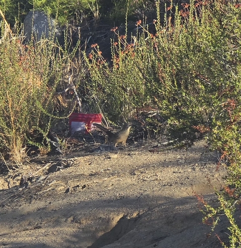
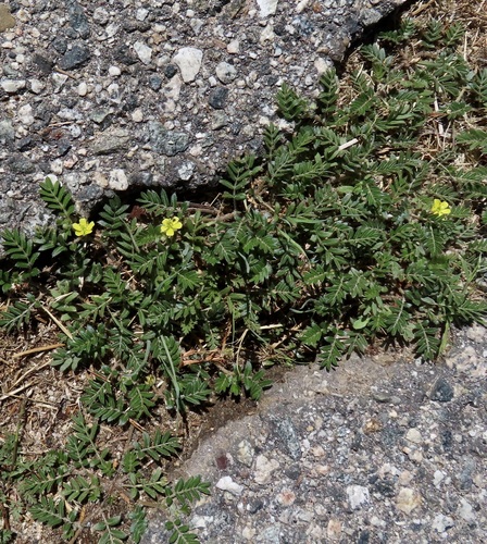
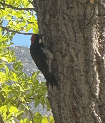
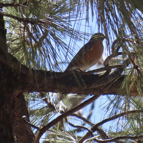
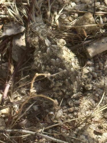
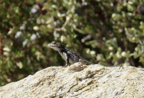
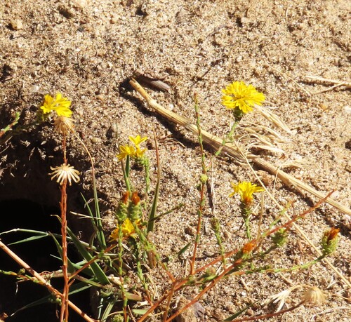
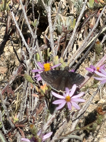
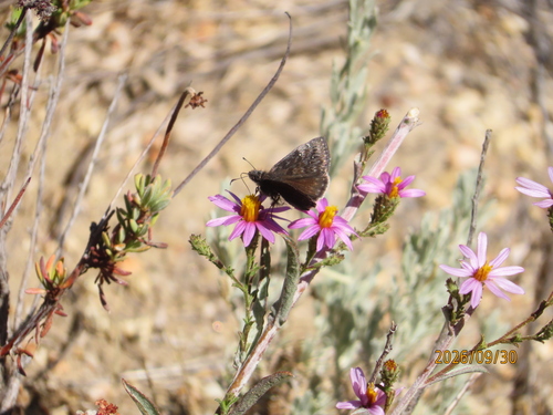
Research-grade observations from iNaturalist (within ~15 mi).
Nearest stream gauge
Events
Gallery
Sources
- • Wikipedia
- • US Census Bureau (ACS 5-year estimates)
- • NOAA National Weather Service
- • Wikidata
- • NCES via Urban Institute Education Data Portal
- • iNaturalist
- • CDC PLACES
- • Open-Meteo / sunrise-sunset.org
- • Wikipedia Pageviews API
- • Open Library
- • NASA EONET