Browse / United States / California / Beaumont
Beaumont
Californiacity

Beaumont
Total population
56,266
Median home value
$503,500
Bachelor's+
Median income
$107,118
Demographic figures from US Census Bureau · ACS 5-year estimates. Overview below cites Wikipedia and may reference a different year.
City facts
Facts from Wikidata (CC0).
Overview
Beaumont is a city in the Inland Empire region of Riverside County, California, United States. The city is located on the eastern edge of the Greater Los Angeles area at the summit of the San Gorgonio Pass.
Read more on WikipediaHistory & geography
History
Beaumont, which is French for "Beautiful Mountain", received its name in 1887 from Henry C. Sigler, president of the Southern California Investment Company, because San Jacinto Peak is nearby and visible from the city. The earliest inhabitants were Native Americans. During the early 1850s, several surveying parties passed through the vicinity of present-day Beaumont in search of a pass that would connect the east to the Pacific Ocean. The San Gorgonio Pass was first surveyed in 1853 during an expedition under Lieutenant R.S. Williamson, who was sent by the United States government. Its location enthralled many who now saw that connecting to the ocean was a feasible measure and led to plans for constructing a railway from the Missouri River to the Pacific. By the early 1860s, stagecoach lines were providing service through the pass area, and a stage stop was established, named Edgar Station, after a physician from one of the expedition parties who made his home in the area. In 1875 when the Southern Pacific Railroad laid tracks through the modern-day location of Beaumont, they established a rail station named Summit Station. This served as a rest stop for railway travelers from the Mojave Desert on their way to the Los Angeles vicinity. In 1884 a real estate development company established a town named San Gorgonio. A second real estate development company purchased the town in 1887 and renamed the town Beaumont, which was incorporated on November 18, 1912. By 1927, the small city had a population of 857 with five churches, a public library, a bank, a high school, two local newspapers, several lumber yards, commercial packing houses, and a dehydrating plant. The city, one of Riverside County's largest apple growers, was dubbed "the land of the big red apple" by…
Geography
Beaumont's neighboring cities are Banning to the east and Calimesa to the northwest. With an elevation of above sea level, Beaumont is at the peak on the San Gorgonio Pass between San Bernardino and Palm Springs, neighboring the Interstate 10 and State Route 60 freeways. If driving east to Banning or west to Calimesa, drivers can feel a gradual downward slope. According to the United States Census Bureau, the city has a total area of , of which 99.96% is land and 0.04% is water. Beaumont reaches an average high of during the summer and an average low of during the winter. Due to its higher elevation, it is usually - colder than its neighboring lower-elevation cities, such as Moreno Valley, Hemet, San Jacinto, and the Palm Springs desert area. Snow does fall, but it usually doesn't stick for more than a couple of hours. According to the Köppen Climate Classification system, Beaumont has a Hot-summer Mediterranean climate, abbreviated "Csa" on climate maps. Beaumont's slightly cooler temperatures and less air pollution, relative to its neighboring lower-elevation cities, make it a desirable area for development in the Inland Empire region. However, it is one of the windiest cities in Southern California, along with San Bernardino, Fontana, and Victorville. Annual precipitation is approximately .
Excerpted from the corresponding Wikipedia article (CC BY-SA).
Demographics & economy
Race & ethnicity
Source: US Census Bureau — American Community Survey, 5-year estimates.
Geography
Coordinates & boundaries from the US Census TIGER/Line shapefiles.
Climate
Air quality
Industrial & pollution facilities
Natural hazard risk
Health (adults)
Age-adjusted prevalence estimates from CDC PLACES (latest release).
Walkability
Amenities nearby
Wildlife & biodiversity
Most-observed species
- Common RavenCorvus corax Linnaeus, 1758 · Aves7,465
- Red-tailed HawkButeo jamaicensis (Gmelin, 1788) · Aves6,424
- House FinchHaemorhous mexicanus (P.L.Statius Müller, 1776) · Aves6,213
- Black PhoebeSayornis nigricans (Swainson, 1827) · Aves5,811
- Mourning DoveZenaida macroura (Linnaeus, 1758) · Aves5,129
- White-crowned SparrowZonotrichia leucophrys (J.R.Forster, 1772) · Aves4,670
- MallardAnas platyrhynchos Linnaeus, 1758 · Aves4,587
- California TowheeMelozone crissalis (Vigors, 1839) · Aves4,585
Citizen-science & research observations from the Global Biodiversity Information Facility (GBIF).
Schools
Largest nearby schools
- Mission Vista AcademyOther · Beaumont · 4,794 students · 30.5:1 ratio
- Beaumont Senior HighHigh · Beaumont · 3,328 students · 26.6:1 ratio
- San Jacinto HighHigh · San Jacinto · 2,617 students · 21.3:1 ratio
- Tahquitz HighHigh · Hemet · 1,727 students · 21.6:1 ratio
- San Jacinto Valley AcademyOther · San Jacinto · 1,571 students · 20.7:1 ratio
- San Gorgonio MiddleMiddle · Beaumont · 1,215 students · 22.1:1 ratio
- Banning HighHigh · Banning · 1,146 students · 20.1:1 ratio
- Summerwind TrailsElementary · Calimesa · 1,057 students · 23.5:1 ratio
Public K–12 schools within ~10 mi from Urban Institute Education Data Portal (NCES Common Core of Data, 2022).
Earthquake history
Most recent
- M 2.77 — 2026-10-153 km NNW of San Jacinto, CA
- M 2.71 — 2026-10-114 km E of San Jacinto, CA
- M 2.7 — 2026-10-082 km WNW of Fontana, CA
- M 2.6 — 2026-10-064 km NNW of Big Bear City, CA
- M 3.08 — 2026-10-0120 km ESE of Anza, CA
- M 2.63 — 2026-09-239 km WNW of Anza, CA
Events from the USGS Earthquake Catalog (global) (FDSN Event Web Service).
Photos
Sights & places nearby
Notable people from here


People born within ~10 km, from Wikidata (CC0). Click any name for their Wikipedia article.
Nearby places in California
- Banning5.7 mi away · pop. 29,505
- Cabazon10.1 mi away
- East Hemet10.2 mi away
- Idyllwild-Pine Cove15.7 mi away
- Canyon Lake22.1 mi away
- Highgrove22.4 mi away
- Grand Terrace23.2 mi away
- Desert Hot Springs24.2 mi away · pop. 32,512
- Big Bear Lake25.5 mi away
- Big Bear City27.6 mi away
- Cathedral City28.3 mi away · pop. 52,267
- Bloomington28.6 mi away
Geography & sun
Elevation, sunrise/sunset and daylight from Open-Meteo. Solar climatology from NASA POWER.
Nearby airports
Public attention
Pageview totals from the Wikimedia Pageviews API.
Books about Beaumont





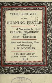
Search results from Open Library.
Recent natural events nearby
- Cyclone RachelSevere Storms · 2026-10-11 · 89 mi
- Wildfire BOUQUET, Los Angeles, CaliforniaWildfires · 2026-10-03 · 95 mi
- Wildfire RIDGE, Los Angeles, CaliforniaWildfires · 2026-08-07 · 124 mi
- Wildfire BUZZARD, Kern, CaliforniaWildfires · 2026-08-05 · 133 mi
- Wildfire CYRUS, Kern, CaliforniaWildfires · 2026-10-09 · 151 mi
- Wildfire PLAINS, San Luis Obispo, CaliforniaWildfires · 2026-08-12 · 203 mi
- Prescribed Fire CRAWFORD CORRAL RX, Tulare, CaliforniaWildfires · 2026-09-19 · 220 mi
- Wildfire Campwood, Yavapai, ArizonaWildfires · 2026-08-23 · 226 mi
Wildfires, storms and other events from NASA EONET (last 12 months, within 250 mi).
Ground air-quality sensors
Recently spotted species
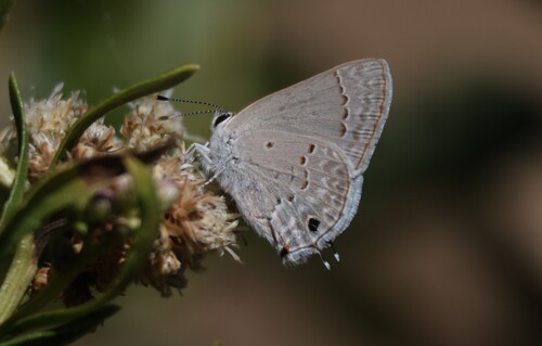
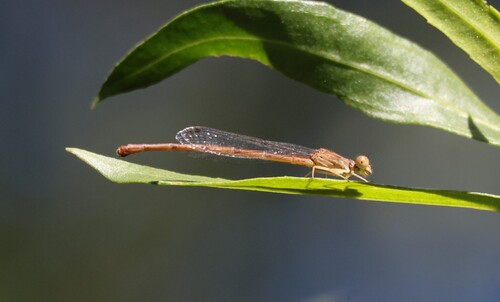
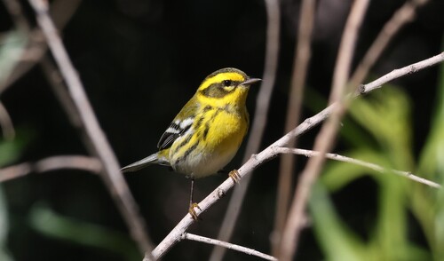
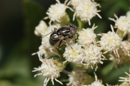
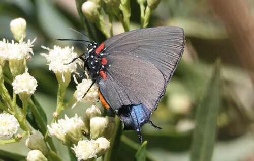
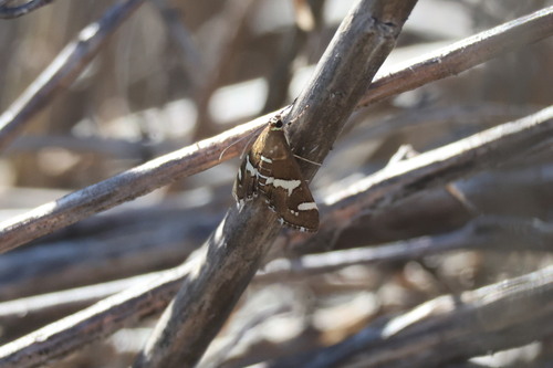
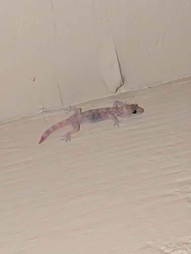
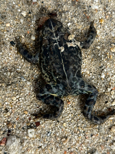
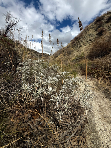
Research-grade observations from iNaturalist (within ~15 mi).
Nearest stream gauge
Live readings from USGS NWIS · measured 2026-10-16 04:30 UTC.
Events
Gallery
Sources
- • Wikipedia
- • US Census Bureau (ACS 5-year estimates)
- • Wikidata
- • USGS Earthquake Catalog (global feed)
- • USGS NWIS (water data)
- • NCES via Urban Institute Education Data Portal
- • GBIF (Global Biodiversity Information Facility)
- • iNaturalist
- • CDC PLACES
- • Open-Meteo / sunrise-sunset.org
- • Wikipedia Pageviews API
- • Open Library
- • NASA EONET