Browse / United States / California / Barstow
Barstow
Californiacity

Barstow
Total population
25,100
Median home value
$245,000
Bachelor's+
Median income
$53,380
Founded
1947
Air quality index
Demographic figures from US Census Bureau · ACS 5-year estimates. Overview below cites Wikipedia and may reference a different year.
City facts
Facts from Wikidata (CC0).
Overview
Barstow is a city in San Bernardino County, California, United States, in the Mojave Desert of Southern California. Located in the Inland Empire region of California, the population was 25,415 at the 2020 census. Barstow is an important crossroads for the Inland Empire and home to Marine Corps Logistics Base Barstow.
Read more on WikipediaHistory & geography
History
Prehistoric Native American tribes inhabited the region as long as 3,000 years ago. The Native Americans hunted, fished and gathered turquoise. The indigenous people left hardly any discernible footprints along faint pathways as they traveled up to the Mexican territory to trade goods. The written history of the Mojave Valley dates back to the 1700s and the missionary excursions of Spanish Franciscan friar Francisco Garcés. Garcés followed the earliest faint footpaths to the Mojave River Valley and from there across the desert around Barstow on his way to Spanish missions beyond the mountains of California. The settlement of Barstow began in the late 1840s in the Mormon Corridor. Every fall and winter, as the weather cooled, the rain produced new grass growth and replenished the water sources in the Mojave Desert. People, goods, and animal herds would move from New Mexico and later Utah to Los Angeles, along the Old Spanish Trail from Santa Fe, or after 1848, on the Mormon Road from Salt Lake City. Trains of freight wagons traveled back to Salt Lake City and other points in the interior. These travelers followed the course of the Mojave River, watering and camping at Fish Ponds on its south bank (west of Nebo Center) or 3.625 miles up river on the north bank, at a riverside grove of willows and cottonwoods, festooned with wild grapes, called Grapevines (later the site of North Barstow). In 1859, the Mojave Road followed a route that was established from Los Angeles to Fort Mojave through Grapevines that linked eastward with the Beale Wagon Road across northern New Mexico Territory to Santa Fe. Troubles with the Paiute, Mojave, and Chemehuevi tribes followed, and from 1860 Camp Cady, a U.S. Army post east of Barstow, was occupied sporadically until 1864, then…
Geography
According to the United States Census Bureau, the city has a total area of , 99.98% land and 0.02% water. Barstow experiences an arid climate, and has four seasons. Summer days are very hot, with highs typically exceeding . Winter, in contrast, is characterized by cold mornings, with lows near . Daily temperature ranges are largely a result of the low atmospheric moisture, typically between difference. There are an average of 133 days with highs of or higher, an average of 68 days with highs of degrees or higher, and an average of 32 days with lows of or lower. The average annual precipitation is , with nearly 80% of rain typically falling during the cooler months (Nov–Apr). Snowfall is uncommon in winter, and many years can go by without any measurable snowfall. There are an average of 24 days annually with measurable precipitation. The record high was on July 23, 1996, and the record low was on January 13, 1963. The wettest year was 1918 with and the driest year was 1904 with . The most rainfall in one month was in February 1998. The heaviest rainfall in 24 hours was on September 10, 1976. The most snowfall in one month was in January 1949, including January 12; that month was one of the coldest and snowiest in southern California history. The native vegetation is dominated by high and low desert shrubs such as creosote bush. City residents have introduced many non-native plants, prominent among which are trees such as Aleppo pine, Morus alba, Italian cypress, fan palm, ailanthus, ash, palo verde and redbud.
Excerpted from the corresponding Wikipedia article (CC BY-SA).
Demographics & economy
Race & ethnicity
Source: US Census Bureau — American Community Survey, 5-year estimates.
Geography
Coordinates & boundaries from the US Census TIGER/Line shapefiles.
Climate
Current forecast
Forecast for Barstow, CA from NOAA NWS API.
Air quality
Current readings from Open-Meteo Air Quality API (Copernicus CAMS European reanalysis).
Industrial & pollution facilities
Natural hazard risk
Health (adults)
Walkability
Amenities nearby
Wildlife & biodiversity
Most-observed species
- Common RavenCorvus corax Linnaeus, 1758 · Aves752
- House SparrowPasser domesticus (Linnaeus, 1758) · Aves448
- House FinchHaemorhous mexicanus (P.L.Statius Müller, 1776) · Aves442
- European StarlingSturnus vulgaris Linnaeus, 1758 · Aves309
- Mourning DoveZenaida macroura (Linnaeus, 1758) · Aves294
- Eurasian Collared-DoveStreptopelia decaocto (Frivaldszky, 1838) · Aves291
- Yellow-rumped WarblerSetophaga coronata (Linnaeus, 1766) · Aves291
- White-crowned SparrowZonotrichia leucophrys (J.R.Forster, 1772) · Aves250
Citizen-science & research observations from the Global Biodiversity Information Facility (GBIF).
Schools
Earthquake history
Most recent
- M 2.62 — 2026-09-2417 km WSW of Johannesburg, CA
- M 2.96 — 2026-09-2317 km WSW of Johannesburg, CA
- M 3.18 — 2026-09-2317 km WSW of Johannesburg, CA
- M 2.51 — 2026-09-2317 km WSW of Johannesburg, CA
- M 2.62 — 2026-09-116 km W of Edwards Air Force Base, CA
- M 2.67 — 2026-09-0839 km NE of Big Bear City, CA
Events from the USGS Earthquake Catalog (global) (FDSN Event Web Service).
Photos
Sights & places nearby
Notable people from here


People born within ~10 km, from Wikidata (CC0). Click any name for their Wikipedia article.
Nearby places in California
- Apple Valley24.9 mi away · pop. 75,039
- Fort Irwin33.3 mi away
- Boron36.8 mi away · pop. 2,698
- Big Bear Lake43.9 mi away · pop. 5,041
- Big Bear City44.6 mi away · pop. 11,431
- Crestline44.6 mi away
- Lake Los Angeles48.1 mi away
- Lytle Creek50.1 mi away
- Homestead Valley54.4 mi away
- Mentone55.9 mi away
- Loma Linda58.1 mi away · pop. 24,791
- Littlerock58.3 mi away
Geography & sun
Elevation, sunrise/sunset and daylight from Open-Meteo. Solar climatology from NASA POWER.
Nearby airports
Public attention
Pageview totals from the Wikimedia Pageviews API.
Books about Barstow

Search results from Open Library.
Recent natural events nearby
- Wildfire RIDGE, Los Angeles, CaliforniaWildfires · 2026-08-07 · 101 mi
- Wildfire BUZZARD, Kern, CaliforniaWildfires · 2026-08-05 · 107 mi
- Prescribed Fire CRAWFORD CORRAL RX, Tulare, CaliforniaWildfires · 2026-09-19 · 161 mi
- Wildfire PLAINS, San Luis Obispo, CaliforniaWildfires · 2026-08-12 · 171 mi
- Wildfire Campwood, Yavapai, ArizonaWildfires · 2026-08-23 · 224 mi
- Wildfire DOME, Mariposa, CaliforniaWildfires · 2026-09-15 · 235 mi
Wildfires, storms and other events from NASA EONET (last 12 months, within 250 mi).
Ground air-quality sensors
Recently spotted species
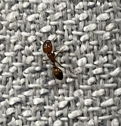
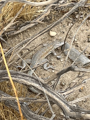
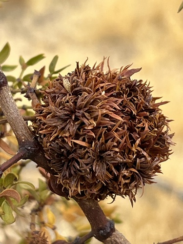
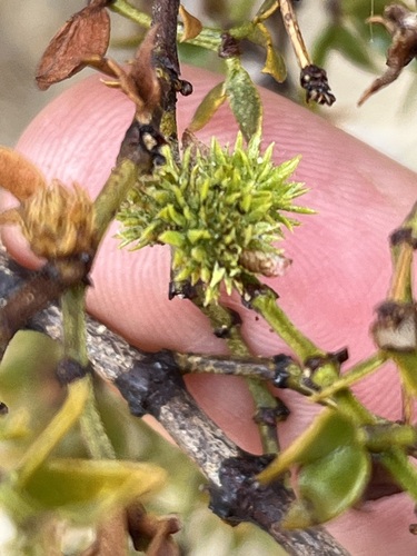
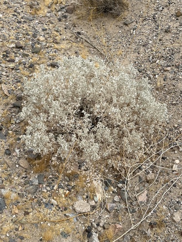
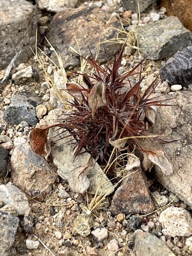
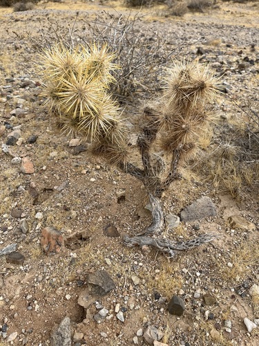
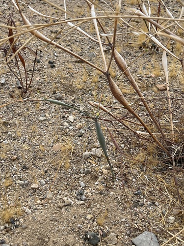
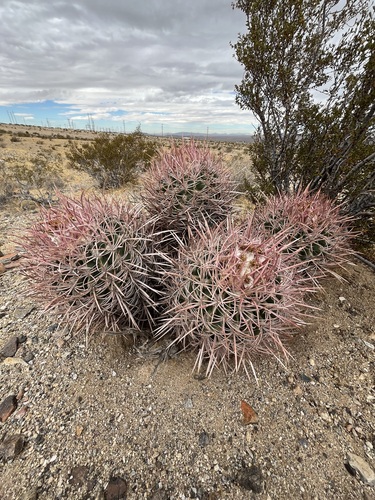
Research-grade observations from iNaturalist (within ~15 mi).
Nearest stream gauge
Events
Gallery
Sources
- • Wikipedia
- • US Census Bureau (ACS 5-year estimates)
- • NOAA National Weather Service
- • Wikidata
- • Open-Meteo Air Quality (CAMS)
- • USGS Earthquake Catalog (global feed)
- • GBIF (Global Biodiversity Information Facility)
- • iNaturalist
- • Open-Meteo / sunrise-sunset.org
- • Wikipedia Pageviews API
- • Open Library
- • NASA EONET