Browse / United States / California / Brawley
Brawley
Californiacity

Brawley
Total population
27,283
Median home value
$290,700
Bachelor's+
Median income
$59,311
Air quality index
Demographic figures from US Census Bureau · ACS 5-year estimates. Overview below cites Wikipedia and may reference a different year.
City facts
Facts from Wikidata (CC0).
Overview
Brawley is a city in Imperial County, California, United States within the Imperial Valley.
Read more on WikipediaHistory & geography
History
The Imperial Land Company laid out the town in 1902 and named it Braly in honor of J.H. Braly, who owned the land. After Braly refused to permit the use of his name, the name was changed to Brawley. The first post office at Brawley opened in 1903. Incorporated in 1908, it was a "tent city" of only 100 persons involved in railroads and the earliest introduction of agriculture. It had a population of 11,922 in 1950, but population growth was slow from the 1960s to the early 1990s.
Geography
Brawley is located in the Colorado Desert and Lower Colorado River Valley regions. The city's elevation, like other Imperial Valley towns, is below sea level. It is north of El Centro, about 25 miles north of the US-Mexico border, about 70 miles west of Yuma, Arizona, 95 miles southeast of Palm Springs and 130 miles east of San Diego. According to the United States Census Bureau, Brawley has a total area of . All is land within the city limits, except for the Alamo River and New River that seasonally flow through the city. Average January temperatures in Brawley are a high of and a low of . Average July temperatures are a high of and a low of . On average, 177.0 afternoons during the year have highs of or higher. The record high temperature was on July 1, 1950, and the record low temperature was on January 1, 1919. Average annual precipitation is with an average of 15 days with measurable precipitation. December is the wettest month of the year, while June is the driest. The wettest year was 1939 with , while the driest year was 1953, in which no measurable precipitation fell in Brawley. The most rainfall in one month was in September 1939. The most rainfall in 24 hours was on October 10, 1932. A rare snowfall in December 1932 brought a total of .
Excerpted from the corresponding Wikipedia article (CC BY-SA).
Demographics & economy
Race & ethnicity
Source: US Census Bureau — American Community Survey, 5-year estimates.
Geography
Coordinates & boundaries from the US Census TIGER/Line shapefiles.
Climate
Current forecast
Forecast for Brawley, CA from NOAA NWS API.
Air quality
Current readings from Open-Meteo Air Quality API (Copernicus CAMS European reanalysis).
Industrial & pollution facilities
Natural hazard risk
Health (adults)
Walkability
Amenities nearby
Wildlife & biodiversity
Most-observed species
- American KestrelFalco sparverius Linnaeus, 1758 · Aves3,837
- Black PhoebeSayornis nigricans (Swainson, 1827) · Aves3,695
- White-faced IbisPlegadis chihi (Vieillot, 1817) · Aves3,217
- Great EgretArdea alba Linnaeus, 1758 · Aves3,193
- Western MeadowlarkSturnella neglecta Audubon, 1844 · Aves3,101
- Mourning DoveZenaida macroura (Linnaeus, 1758) · Aves2,931
- Eurasian Collared-DoveStreptopelia decaocto (Frivaldszky, 1838) · Aves2,899
- American CootFulica americana Gmelin, 1789 · Aves2,773
Citizen-science & research observations from the Global Biodiversity Information Facility (GBIF).
Schools
Earthquake history
Most recent
- M 2.91 — 2026-08-3122 km SSW of La Quinta, CA
- M 2.65 — 2026-08-312 km NW of Delta, B.C., MX
- M 2.56 — 2026-08-2752 km SSW of Progreso, B.C., MX
- M 3.06 — 2026-08-2512 km WSW of Salton City, CA
- M 2.69 — 2026-08-208 km WSW of Alberto Oviedo Mota, B.C., MX
- M 2.63 — 2026-08-1328 km SSW of Ocotillo Wells, CA
Events from the USGS Earthquake Catalog (global) (FDSN Event Web Service).
Photos
Sights & places nearby
Notable people from here


People born within ~10 km, from Wikidata (CC0). Click any name for their Wikipedia article.
Nearby places in California
- El Centro Naval Air Facility13.3 mi away
- El Centro13.4 mi away · pop. 44,322
- Holtville14.3 mi away
- Bombay Beach28.5 mi away
- Desert Shores41.7 mi away
- Jacumba45.1 mi away
- Borrego Springs51.3 mi away · pop. 2,700
- Mecca51.6 mi away
- Campo59.7 mi away
- Coachella60.6 mi away · pop. 41,941
- Mesa Verde62.8 mi away
- La Quinta63.1 mi away · pop. 37,558
Geography & sun
Elevation, sunrise/sunset and daylight from Open-Meteo. Solar climatology from NASA POWER.
Nearby airports
Public attention
Pageview totals from the Wikimedia Pageviews API.
Books about Brawley


Search results from Open Library.
Recent natural events nearby
- Wildfire Campwood, Yavapai, ArizonaWildfires · 2026-08-23 · 180 mi
- Wildfire RIDGE, Los Angeles, CaliforniaWildfires · 2026-08-07 · 227 mi
- Wildfire BUZZARD, Kern, CaliforniaWildfires · 2026-08-05 · 236 mi
- Wildfire FISH, Kern, CaliforniaWildfires · 2026-07-27 · 239 mi
Wildfires, storms and other events from NASA EONET (last 12 months, within 250 mi).
Ground air-quality sensors
Recently spotted species
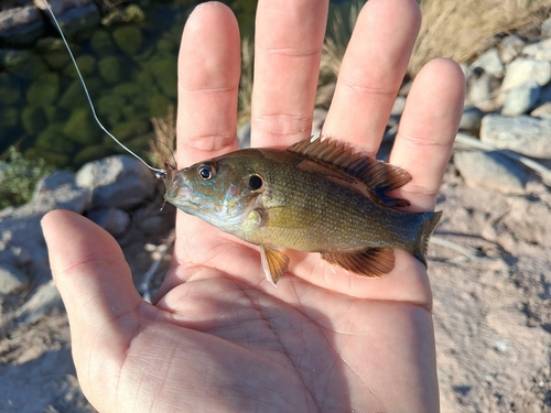
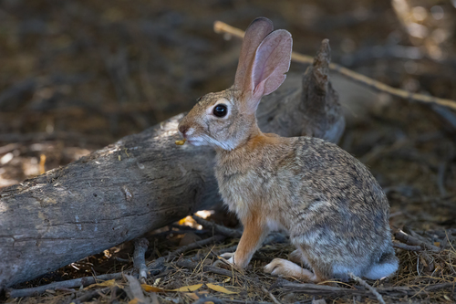
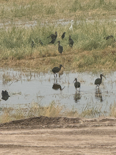
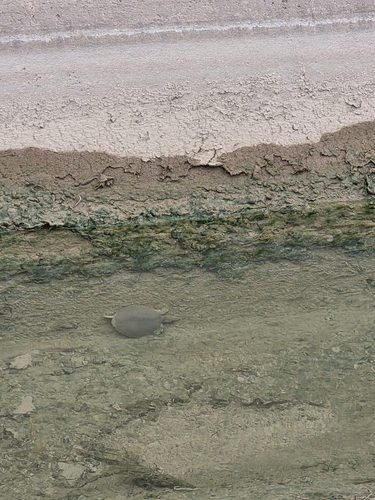
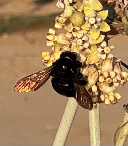
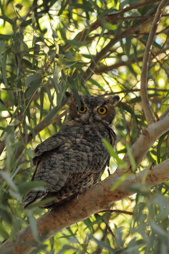
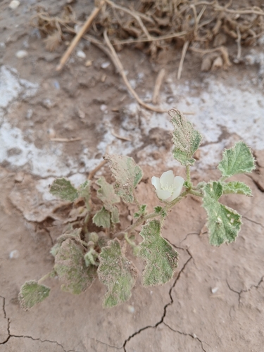
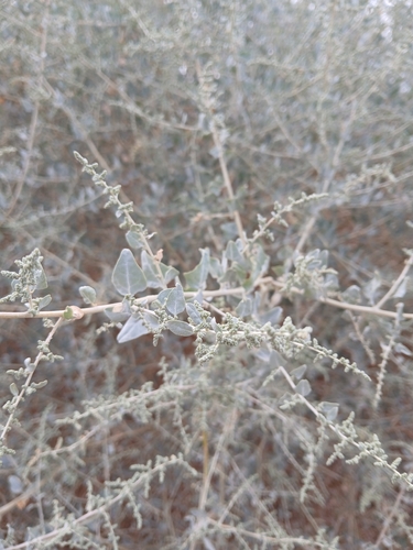
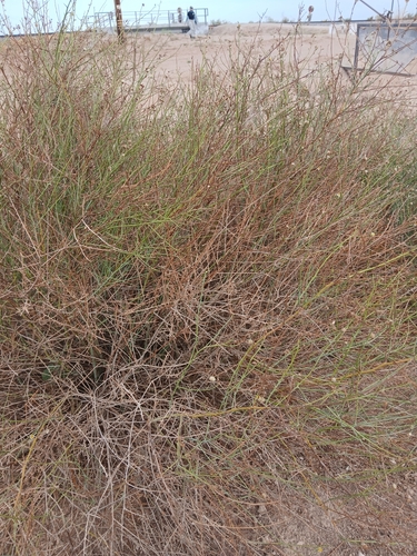
Research-grade observations from iNaturalist (within ~15 mi).
Nearest stream gauge
Events
Gallery
Sources
- • Wikipedia
- • US Census Bureau (ACS 5-year estimates)
- • NOAA National Weather Service
- • Wikidata
- • Open-Meteo Air Quality (CAMS)
- • USGS Earthquake Catalog (global feed)
- • GBIF (Global Biodiversity Information Facility)
- • iNaturalist
- • Open-Elevation
- • Open-Meteo / sunrise-sunset.org
- • Wikipedia Pageviews API
- • Open Library
- • NASA EONET