Browse / United States / California / Cherry Valley
Cherry Valley
CaliforniaCDP

Cherry Valley
Total population
6,668
Median home value
$408,000
Bachelor's+
Median income
$76,895
Demographic figures from US Census Bureau · ACS 5-year estimates. Overview below cites Wikipedia and may reference a different year.
- Extreme Heat Warning · SevereExtreme Heat Warning issued October 1 at 1:12PM PDT until October 8 at 8:00PM PDT by NWS San Diego CA
Source: NOAA National Weather Service.
City facts
Facts from Wikidata (CC0).
Overview
Cherry Valley is a census-designated place (CDP) in the Inland Empire region of Riverside County, California, United States. The population was 6,509 at the 2020 census, up from 6,362 at the 2010 census. It is situated at the most northwestern point of the San Gorgonio Pass.
Read more on WikipediaHistory & geography
History
In the early 1800s, the area was known as Rancho San Gorgonio, an outpost for the San Gabriel Mission. A large portion of the area was a Spanish Land Grant made to a man by the name of Paulino Weaver. In 1853, Weaver sold some of his land to Dr. Isaac William Smith, who was struck by the land's natural beauty while looking for stray cattle. Dr. Smith purchased a 1,000 acres for $1,000 from Weaver and established Smith Ranch and [https://www.hsresort.com/history.html Highland Springs Ranch & Inn]. The original Smith residence stood near where the swimming pool is today. In 1862, Smith's ranch was dubbed "Smith Station" and was made a stagecoach stop. In 1865, a young Wyatt Earp drove the route from San Bernardino to La Paz, Arizona on which Smith Station was a popular stop. From 1864 to 1866, the route through Highland Springs along the Bradshaw Trail was the single connecting line for passenger, mail and the express travel between Southern California and the eastern regions of the nation. Smith's Station slowly developed into a hotel bustling with traffic. In 1884, the Smith property was purchased by a Los Angeles company that built a three-story hotel on the property called Highland Home. The first cherry trees in the area were planted here, contributing to the name that it is still known by today. In 1927, Fred and William Hirsch bought the old Smith place, renamed it Highland Springs Resort, and developed it into a health resort. Fred Hirsch himself was made healthy through following the philosophy of Professor Arnold Ehret, who was an early proponent of juice fasting and colon cleansing. The restaurant on the resort was vegetarian and Hirsch grew a lot of the produce served at the restaurant on the property. He also grew his own grapes and operated a small…
Geography
Cherry Valley is located at (33.974848, -116.970300). With an elevation of 2,980 feet above sea level, Cherry Valley is at the highest point on the San Gorgonio Pass between San Bernardino and Palm Springs. According to the United States Census Bureau, the CDP has a total area of , all of it land. According to the Köppen Climate Classification system, Cherry Valley has a hot-summer Mediterranean climate, abbreviated "Csa" on climate maps.
Excerpted from the corresponding Wikipedia article (CC BY-SA).
Demographics & economy
Race & ethnicity
Source: US Census Bureau — American Community Survey, 5-year estimates.
Geography
Coordinates & boundaries from the US Census TIGER/Line shapefiles.
Climate
Current forecast
Forecast for Cherry Valley, CA from NOAA NWS API.
Air quality
Industrial & pollution facilities
Natural hazard risk
Health (adults)
Walkability
Amenities nearby
Wildlife & biodiversity
Most-observed species
- House FinchHaemorhous mexicanus (P.L.Statius Müller, 1776) · Aves13,787
- Common RavenCorvus corax Linnaeus, 1758 · Aves11,110
- Black PhoebeSayornis nigricans (Swainson, 1827) · Aves10,333
- California TowheeMelozone crissalis (Vigors, 1839) · Aves9,997
- Lesser GoldfinchSpinus psaltria (Say, 1822) · Aves9,864
- Mourning DoveZenaida macroura (Linnaeus, 1758) · Aves9,820
- Red-tailed HawkButeo jamaicensis (Gmelin, 1788) · Aves8,763
- American CrowCorvus brachyrhynchos C.L.Brehm, 1822 · Aves8,201
Citizen-science & research observations from the Global Biodiversity Information Facility (GBIF).
Schools
Earthquake history
Most recent
- M 2.67 — 2026-09-0839 km NE of Big Bear City, CA
- M 3.2 — 2026-09-026 km SE of Ontario, CA
- M 2.91 — 2026-08-3122 km SSW of La Quinta, CA
- M 3.64 — 2026-08-1914 km N of Warner Springs, CA
- M 2.78 — 2026-08-166 km SE of Ontario, CA
- M 3.04 — 2026-08-1210 km WSW of Corona, CA
Events from the USGS Earthquake Catalog (global) (FDSN Event Web Service).
Photos
Sights & places nearby
Notable people from here


People born within ~10 km, from Wikidata (CC0). Click any name for their Wikipedia article.
Nearby places in California
- Banning4.7 mi away · pop. 29,505
- Beaumont7.2 mi away · pop. 53,036
- Cabazon11.6 mi away
- East Hemet17.3 mi away
- Big Bear Lake18.7 mi away
- Highgrove19.6 mi away
- Grand Terrace20 mi away
- Idyllwild-Pine Cove21.3 mi away
- Big Bear City21.4 mi away
- Lake Arrowhead22.4 mi away
- Desert Hot Springs24.5 mi away · pop. 32,512
- Bloomington25.3 mi away
Geography & sun
Elevation, sunrise/sunset and daylight from Open-Meteo. Solar climatology from NASA POWER.
Nearby airports
Public attention
Pageview totals from the Wikimedia Pageviews API.
Books about Cherry Valley

Search results from Open Library.
Recent natural events nearby
- Wildfire RIDGE, Los Angeles, CaliforniaWildfires · 2026-08-07 · 120 mi
- Wildfire BUZZARD, Kern, CaliforniaWildfires · 2026-08-05 · 128 mi
- Wildfire PLAINS, San Luis Obispo, CaliforniaWildfires · 2026-08-12 · 199 mi
- Prescribed Fire CRAWFORD CORRAL RX, Tulare, CaliforniaWildfires · 2026-09-19 · 213 mi
- Wildfire Campwood, Yavapai, ArizonaWildfires · 2026-08-23 · 225 mi
Wildfires, storms and other events from NASA EONET (last 12 months, within 250 mi).
Ground air-quality sensors
Recently spotted species
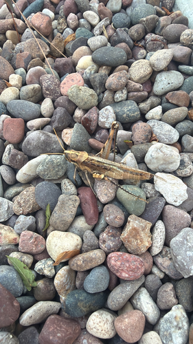
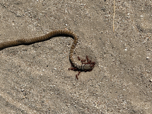
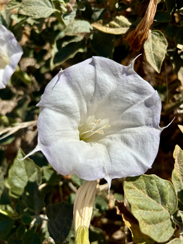
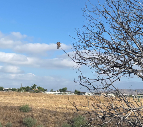
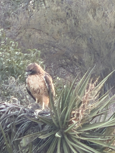
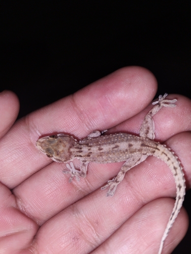
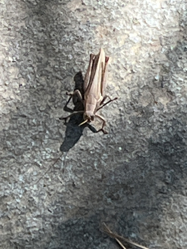
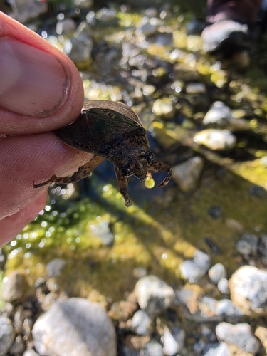
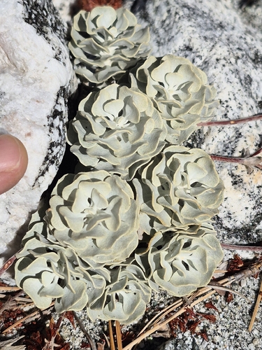
Research-grade observations from iNaturalist (within ~15 mi).
Nearest stream gauge
Events
Gallery
Sources
- • Wikipedia
- • US Census Bureau (ACS 5-year estimates)
- • NOAA National Weather Service
- • Wikidata
- • USGS Earthquake Catalog (global feed)
- • GBIF (Global Biodiversity Information Facility)
- • iNaturalist
- • Open-Meteo / sunrise-sunset.org
- • Wikipedia Pageviews API
- • Open Library
- • NASA EONET