Browse / United States / California / Indio
Indio
Californiacity

Indio
Total population
94,283
Median home value
$514,700
Bachelor's+
Median income
$76,579
Founded
1873
Demographic figures from US Census Bureau · ACS 5-year estimates. Overview below cites Wikipedia and may reference a different year.
City facts
Sister cities
Facts from Wikidata (CC0).
Overview
Indio is a city in central Riverside County, California, United States, in the Coachella Valley of Southern California's Colorado Desert region. Indio is approximately 125 miles (201 km) east of Los Angeles, 23 miles (37 km) east of Palm Springs, and 98 miles (158 km) west of Blythe, California.
Read more on WikipediaHistory & geography
History
Indio is within the ancestral lands of the Desert Cahuilla Indians whose headquarters are in nearby Thermal, California. Railroad line construction east out of Los Angeles began in 1873. Trains were operated to Colton on July 16, 1875, and to Indio (then known as Indian Wells) on May 29, 1876. Moving on eastward from Indio, the railroad reached the west bank of the Colorado River opposite Yuma on May 23, 1877. Back then, Yuma was a village known as Arizona City prior to 1873. There was a delay in getting military authority to lay tracks across the Yuma Indian reservation, and it was September that year before the bridge was completed so trains could operate into Yuma. The Southern Pacific Railroad was to have joined those of the Texas & Pacific, one of several railroads then holding, or seeking, federal authority to build lines from various sections of the country west to the Pacific Coast. But the rail-head of the T & P was at a standstill far off in Texas, so Southern Pacific continued building eastward. The City of Indio came about because of the need for a halfway point for the Southern Pacific Railroad between Yuma, Arizona and Los Angeles, since the engines needed to be refilled with water. Since other areas had the name Indian Wells, Indio (after a Spanish variation of the word "Indian") was chosen instead. After the railroad's arrival in 1876, Indio began to grow. The first permanent building was the craftsman-style Southern Pacific Depot station and hotel. Southern Pacific tried to make life as comfortable as it could for their workers to keep them from leaving such a difficult area to live in at the time. The depot was at the center of all social life in the desert with a fancy dining room and hosting dances on Friday nights. While Indio started as a…
Geography
According to the United States Census Bureau, the city has a total area of , 99.98% of which is land and 0.02% is water. The mean annual temperature is . Indio is in the Colorado Desert region of the Sonoran Desert. It is adjacent to the geologic Salton Sink and within the site of historic Lake Cahuilla of the Lower Colorado River Valley. Indio is an official National Bird Sanctuary, because of the seasonal bird migration flight routes that cross the town en route to the Salton Sea. * Geography of the Colorado Desert * Fauna of the Colorado Desert * Sonoran Desert wildflowers
Excerpted from the corresponding Wikipedia article (CC BY-SA).
Demographics & economy
Race & ethnicity
Source: US Census Bureau — American Community Survey, 5-year estimates.
Geography
Coordinates & boundaries from the US Census TIGER/Line shapefiles.
Climate
Current forecast
Forecast for Indio, CA from NOAA NWS API.
Air quality
Industrial & pollution facilities
Natural hazard risk
Health (adults)
Age-adjusted prevalence estimates from CDC PLACES (latest release).
Walkability
Amenities nearby
Wildlife & biodiversity
Most-observed species
- Costa's HummingbirdCalypte costae (Bourcier, 1839) · Aves9,012
- House FinchHaemorhous mexicanus (P.L.Statius Müller, 1776) · Aves8,781
- Common RavenCorvus corax Linnaeus, 1758 · Aves8,461
- Mourning DoveZenaida macroura (Linnaeus, 1758) · Aves7,994
- VerdinAuriparus flaviceps (Sundevall, 1850) · Aves7,737
- Northern MockingbirdMimus polyglottos (Linnaeus, 1758) · Aves7,177
- Black PhoebeSayornis nigricans (Swainson, 1827) · Aves6,204
- Yellow-rumped WarblerSetophaga coronata (Linnaeus, 1766) · Aves5,918
Citizen-science & research observations from the Global Biodiversity Information Facility (GBIF).
Schools
Largest nearby schools
- Coachella Valley HighHigh · Thermal · 2,657 students · 21.1:1 ratio
- La Quinta HighHigh · La Quinta · 2,500 students · 24.8:1 ratio
- Indio HighHigh · Indio · 2,143 students · 25.5:1 ratio
- Palm Desert HighHigh · Palm Desert · 2,050 students · 24.4:1 ratio
- Shadow Hills HighHigh · Indio · 1,751 students · 22.7:1 ratio
- Palm Desert Charter MiddleMiddle · Palm Desert · 1,347 students · 27.5:1 ratio
- Imagine Schools Riverside CountyElementary · Coachella · 1,312 students · 23.9:1 ratio
- John Glenn Middle School of International StudiesMiddle · Indio · 1,045 students · 23.8:1 ratio
Public K–12 schools within ~10 mi from Urban Institute Education Data Portal (NCES Common Core of Data, 2022).
Earthquake history
Most recent
- M 2.77 — 2026-10-153 km NNW of San Jacinto, CA
- M 2.68 — 2026-10-1133 km WNW of Desert Center, CA
- M 2.68 — 2026-10-1133 km WNW of Desert Center, CA
- M 2.71 — 2026-10-114 km E of San Jacinto, CA
- M 2.6 — 2026-10-064 km NNW of Big Bear City, CA
- M 3.08 — 2026-10-0120 km ESE of Anza, CA
Events from the USGS Earthquake Catalog (global) (FDSN Event Web Service).
Photos
Sights & places nearby
Notable people from here


People born within ~10 km, from Wikidata (CC0). Click any name for their Wikipedia article.
Nearby places in California
- Indio Hills7.6 mi away · pop. 1,117
- Cathedral City14.9 mi away · pop. 52,267
- Desert Hot Springs23.5 mi away · pop. 33,200
- Salton Sea Beach27.8 mi away
- Cabazon33.8 mi away · pop. 1,887
- Salton City33.8 mi away
- Borrego Springs34.6 mi away · pop. 2,700
- Homestead Valley38.8 mi away
- Banning40.8 mi away · pop. 31,093
- Big Bear City48.3 mi away · pop. 11,431
- Big Bear Lake51.7 mi away · pop. 5,041
- Mentone55.3 mi away · pop. 9,514
Geography & sun
Elevation, sunrise/sunset and daylight from Open-Meteo. Solar climatology from NASA POWER.
Nearby airports
Public attention
Pageview totals from the Wikimedia Pageviews API.
Books about Indio

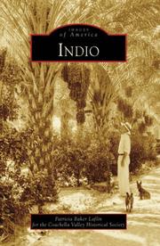
Search results from Open Library.
Recent natural events nearby
- Wildfire RIDGE, Los Angeles, CaliforniaWildfires · 2026-08-07 · 165 mi
- Wildfire BUZZARD, Kern, CaliforniaWildfires · 2026-08-05 · 173 mi
- Wildfire Campwood, Yavapai, ArizonaWildfires · 2026-08-23 · 190 mi
- Wildfire PLAINS, San Luis Obispo, CaliforniaWildfires · 2026-08-12 · 244 mi
Wildfires, storms and other events from NASA EONET (last 12 months, within 250 mi).
Ground air-quality sensors
Recently spotted species
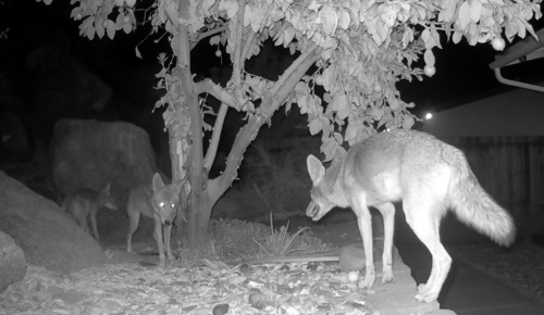
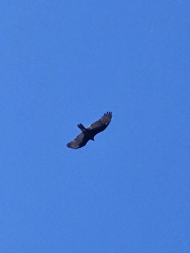
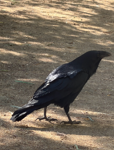
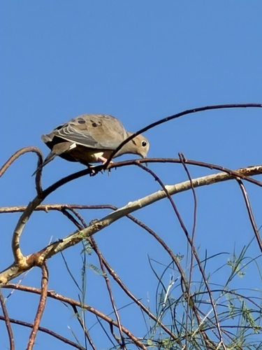
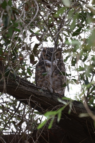
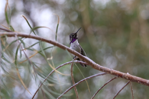
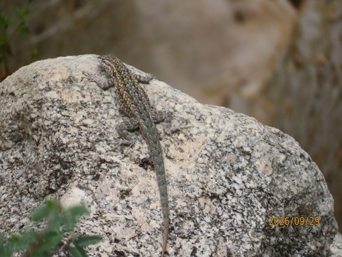
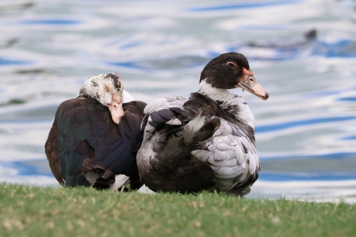
Research-grade observations from iNaturalist (within ~15 mi).
Nearest stream gauge
Events
Gallery
Sources
- • Wikipedia
- • US Census Bureau (ACS 5-year estimates)
- • NOAA National Weather Service
- • Wikidata
- • USGS Earthquake Catalog (global feed)
- • NCES via Urban Institute Education Data Portal
- • GBIF (Global Biodiversity Information Facility)
- • iNaturalist
- • CDC PLACES
- • Open-Meteo / sunrise-sunset.org
- • Wikipedia Pageviews API
- • Open Library
- • NASA EONET