Browse / United States / California / Alpine
Alpine
CaliforniaCDP

Alpine
Total population
15,180
Median home value
$864,000
Bachelor's+
Median income
$108,660
Demographic figures from US Census Bureau · ACS 5-year estimates. Overview below cites Wikipedia and may reference a different year.
City facts
Facts from Wikidata (CC0).
Overview
Alpine is a census-designated place (CDP) in the Cuyamaca Mountains of San Diego County, California, United States. Alpine had a population of 14,696 at the 2020 census, up from 14,236 at the 2010 census. The town is largely surrounded by Cleveland National Forest and borders two reservations of the Kumeyaay, Viejas and Sycuan tribes, and the rural unincorporated areas around the city of El Cajon.
Read more on WikipediaHistory & geography
History
Before its modern settlement, the area was part of the home of the Kumeyaay Indians, whose ancestors had lived here for possibly as long as 12,000 years. The community's name was suggested by a resident in the 1880s who said that the environment reminded her of her native country of Switzerland. The small commercial district along Alpine Boulevard has seen some suburban development in recent decades, and it is surrounded by large stretches of less densely populated rural areas that began in the late 19th and early 20th centuries. Horse ranches and small farms are still common, along with open chaparral hillsides and riparian canyons. In 2003, the Cedar Fire ravaged the Alpine area.
Geography
Alpine sits on both sides of Interstate 8 at the eastern extent of the California coastal region and the western extent of the Peninsular Ranges, about east of downtown San Diego, at an elevation of about . The location of Alpine is not precisely defined since it is an unincorporated area. According to the United States Geological Survey, it is at (32.8350521, -116.7664109), which is near the intersection of Alpine Boulevard and Tavern Road. That is approximately where most maps place Alpine. Kumeyaay tribes are indigenous to the area, and the Ewiiaapaayp Band and Viejas Band of Kumeyaay Indians both have headquarters in Alpine. According to the United States Census Bureau, it is at (32.834563, -116.770615), which is approximately west of the USGS location. According to the United States Census Bureau, the CDP has a total area of , 99.99% land and 0.01% water. Viejas Mountain is the highest peak in the area, at . Wright's Field is a nature reserve located in Alpine. According to the Köppen Climate Classification system, Alpine has a warm-summer Mediterranean climate, abbreviated "Csa" on climate maps. Summers are warm and dry, and winters are cool with moderate precipitation. Temperatures are more extreme than coastal San Diego, similar to nearby El Cajon and Ramona, and less extreme than the nearby mountain and desert regions, such as Julian. Rainfall averages per year, falling mostly from November to March, with numerous microclimates and annual variation. Rainfall amounts can vary greatly from month to month, or from year to year. Average January temperatures range from the low 60s in the day to the low 40s at night. Average July temperatures range from upper 80s to the low 90s in the day to the low 60s at night. Highs of over in the summer and lows of…
Excerpted from the corresponding Wikipedia article (CC BY-SA).
Demographics & economy
Race & ethnicity
Source: US Census Bureau — American Community Survey, 5-year estimates.
Geography
Coordinates & boundaries from the US Census TIGER/Line shapefiles.
Climate
Current forecast
Forecast for Alpine, CA from NOAA NWS API.
Air quality
Industrial & pollution facilities
Natural hazard risk
Health (adults)
Age-adjusted prevalence estimates from CDC PLACES (latest release).
Walkability
Amenities nearby
Wildlife & biodiversity
Most-observed species
- House FinchHaemorhous mexicanus (P.L.Statius Müller, 1776) · Aves9,399
- Anna's HummingbirdCalypte anna (R.Lesson, 1829) · Aves8,525
- Mourning DoveZenaida macroura (Linnaeus, 1758) · Aves8,237
- American CrowCorvus brachyrhynchos C.L.Brehm, 1822 · Aves7,807
- California TowheeMelozone crissalis (Vigors, 1839) · Aves7,553
- Lesser GoldfinchSpinus psaltria (Say, 1822) · Aves7,515
- California/Woodhouse's Scrub-JayAphelocoma californica (Vigors, 1839) · Aves6,981
- Black PhoebeSayornis nigricans (Swainson, 1827) · Aves6,375
Citizen-science & research observations from the Global Biodiversity Information Facility (GBIF).
Schools
Largest nearby schools
- Granite Hills HighHigh · El Cajon · 2,398 students · 24.7:1 ratio
- El Capitan HighHigh · Lakeside · 1,825 students · 22.8:1 ratio
- Tierra del Sol MiddleMiddle · Lakeside · 718 students · 21.1:1 ratio
- Lakeview ElementaryElementary · Lakeside · 657 students · 24.3:1 ratio
- Los Coches Creek MiddleMiddle · El Cajon · 538 students · 20.7:1 ratio
- Blossom Valley ElementaryElementary · El Cajon · 532 students · 22.2:1 ratio
- Lemon Crest ElementaryElementary · Lakeside · 496 students · 20.7:1 ratio
- Lindo Park ElementaryElementary · Lakeside · 444 students · 21.1:1 ratio
Public K–12 schools within ~10 mi from Urban Institute Education Data Portal (NCES Common Core of Data, 2022).
Earthquake history
Most recent
- M 2.99 — 2026-05-289 km WNW of Primo Tapia, B.C., MX
- M 3.02 — 2026-05-2124 km WSW of Westmorland, CA
- M 2.66 — 2026-05-1822 km ESE of Ocotillo Wells, CA
- M 2.63 — 2026-05-1822 km ESE of Ocotillo Wells, CA
- M 2.77 — 2026-05-1822 km ESE of Ocotillo Wells, CA
- M 3.14 — 2026-05-1822 km ESE of Ocotillo Wells, CA
Events from the USGS Earthquake Catalog (global) (FDSN Event Web Service).
Photos
Sights & places nearby
Notable people from here


People born within ~10 km, from Wikidata (CC0). Click any name for their Wikipedia article.
Nearby places in California
Geography & sun
Elevation, sunrise/sunset and daylight from Open-Meteo. Solar climatology from NASA POWER.
Nearby airports
Public attention
Pageview totals from the Wikimedia Pageviews API.
Books about Alpine
Search results from Open Library.
Recent natural events nearby
- Wildfire RIDGE, Los Angeles, CaliforniaWildfires · 2026-08-07 · 180 mi
- Wildfire BUZZARD, Kern, CaliforniaWildfires · 2026-08-05 · 189 mi
- Wildfire FISH, Kern, CaliforniaWildfires · 2026-07-27 · 200 mi
- Wildfire Campwood, Yavapai, ArizonaWildfires · 2026-08-23 · 243 mi
Wildfires, storms and other events from NASA EONET (last 12 months, within 250 mi).
Ground air-quality sensors
Recently spotted species
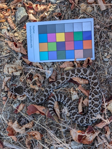
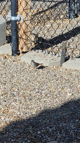
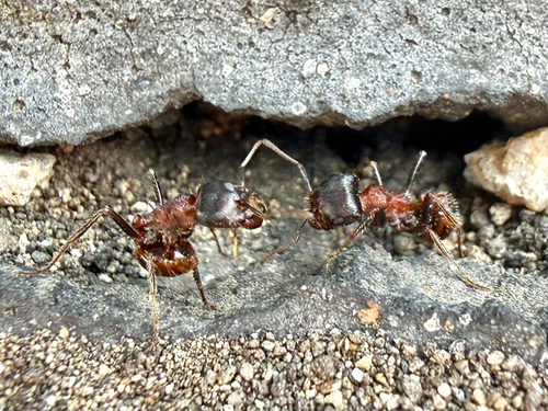
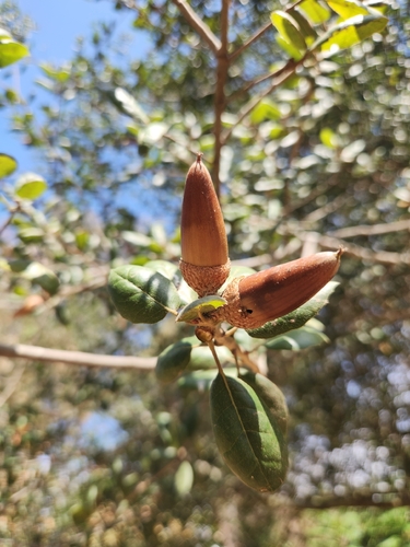

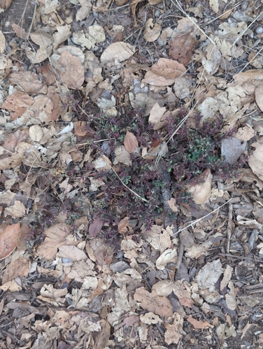
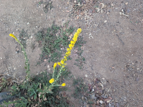
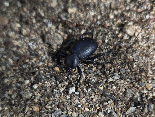
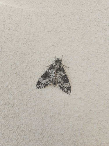
Research-grade observations from iNaturalist (within ~15 mi).
Nearest stream gauge
Live readings from USGS NWIS · measured 2026-06-06 21:15 UTC.
Events
Gallery
Geotagged photos within ~6 miles of Alpine, from Wikimedia Commons contributors.
 0.3 mi
 0.8 mi
 1.3 mi
 1.4 mi
 1.9 mi
 1.9 mi
 1.9 mi
 1.9 mi
 1.9 mi
 1.9 mi
 2.6 mi
.jpg) 2.7 mi
2.7 mi.jpg) 2.8 mi
2.8 mi.jpg) 2.8 mi
2.8 mi.jpg) 2.8 mi
2.8 mi 2.9 mi
.jpg) 2.9 mi
2.9 mi.jpg) 2.9 mi
2.9 mi.jpg) 2.9 mi
2.9 mi.jpg) 2.9 mi
2.9 mi.jpg) 2.9 mi
2.9 mi.jpg) 2.9 mi
2.9 mi.jpg) 2.9 mi
2.9 mi 2.9 mi
Photos via Wikimedia Commons — see each image page for license & attribution.
Sources
- • Wikipedia
- • US Census Bureau (ACS 5-year estimates)
- • NOAA National Weather Service
- • Wikimedia Commons
- • Wikidata
- • USGS Earthquake Catalog (global feed)
- • USGS NWIS (water data)
- • NCES via Urban Institute Education Data Portal
- • GBIF (Global Biodiversity Information Facility)
- • iNaturalist
- • CDC PLACES
- • Open-Elevation
- • Open-Meteo / sunrise-sunset.org
- • Wikipedia Pageviews API
- • Open Library
- • NASA EONET
- • Wikidata SPARQL (CC0) — population, area, elevation, inception, head of government, Commons image