Browse / United States / California / Calexico
Calexico
Californiacity

Calexico
Total population
38,585
Median home value
$313,600
Bachelor's+
Median income
$49,783
Founded
1908
Air quality index
Demographic figures from US Census Bureau · ACS 5-year estimates. Overview below cites Wikipedia and may reference a different year.
- Air Quality Alert · UnknownAir Quality Alert issued June 2 at 9:39AM MST by NWS Phoenix AZ
Source: NOAA National Weather Service.
City facts
Facts from Wikidata (CC0).
Overview
Calexico is a city in southern Imperial County, California, United States. As of the 2020 census, Calexico had a population of 38,633. Situated on the Mexican border, it is linked economically with the much larger city of Mexicali, the capital of the Mexican state of Baja California. It is about 122 miles (196 km) east of San Diego and 62 miles (100 km) west of Yuma, Arizona. Calexico, along with six other incorporated Imperial County cities, forms part of the larger populated area known as the Imperial Valley. First explored by Europeans in the 18th century, Calexico began as a small tent community which was ultimately incorporated in 1908.
Read more on WikipediaHistory & geography
History
The expedition of Spanish explorer Juan Bautista de Anza traveled through the area some time between 1775 and 1776, during Spanish rule. The trail through Calexico was designated as a historical route by the State of California. Calexico began as a tent city of the Imperial Land Company; it was founded in 1899, and incorporated in 1908. The Imperial Land Company converted desert land into a fertile setting for year-round agriculture. The first post office in Calexico opened in 1902. On April 4, 2010, the El Mayor earthquake caused moderate to heavy damage throughout Calexico and across the border in Mexicali. Measuring 7.2 , the quake was centered about south of the U.S.–Mexico border near Mexicali. A state of emergency was declared and officials cordoned off First and Second streets between Paulin and Heber Avenues. Glass and debris littered the streets of downtown Calexico and two buildings partially collapsed. The Calexico water treatment plant sustained severe damage.
Geography
According to the United States Census Bureau, at the 2020 census, the city had a total area of , all land. Calexico is located southeast of Los Angeles, east of San Diego, west of Phoenix, and adjacent to Mexicali, Baja California, Mexico. Calexico's location provides easy overnight trucking access to all those transportation hubs plus the ports of Long Beach, California, and Ensenada, Baja California, Mexico. Calexico is served by State Routes 98, 7 and 111, with direct connection to Interstate 8 (5 miles north) and State Route 86. There are eighteen regular and irregular common carriers for intrastate and interstate truck service to Calexico. Rail service is provided by Union Pacific Railroad, and connects with the main line to Portland, Oregon; Rock Island, Illinois; Tucumcari, New Mexico; St. Louis, Missouri; and New Orleans, Louisiana. Within city limits is Calexico International Airport, the U.S. Customs and Border Protection checkpoint for private passenger and air-cargo flights entering the U.S. from Mexico. Private charter services are also available there. General aviation facilities and scheduled passenger and air-cargo service to San Diego International Airport, Bob Hope Airport in Burbank, and other points are available at Imperial County Airport (Boley Field), located north. Calexico has a subtropical hot-desert climate (BWh), according to the Köppen climate classification system. In December 1932, the city experienced a rare snowfall. Rainfall usually occurs in the winter months of December, January and February. Although summer is extremely dry in Calexico, there are occasional thunderstorms. In 2008, during the months of July and August there were several heavy thunderstorms that let down large amounts of rain and hail. Summer rainfall in the…
Excerpted from the corresponding Wikipedia article (CC BY-SA).
Demographics & economy
Race & ethnicity
Source: US Census Bureau — American Community Survey, 5-year estimates.
Geography
Coordinates & boundaries from the US Census TIGER/Line shapefiles.
Climate
Current forecast
Forecast for Calexico, CA from NOAA NWS API.
Air quality
Current readings from Open-Meteo Air Quality API (Copernicus CAMS European reanalysis).
Industrial & pollution facilities
Natural hazard risk
Health (adults)
Age-adjusted prevalence estimates from CDC PLACES (latest release).
Walkability
Amenities nearby
Wildlife & biodiversity
Most-observed species
- Eurasian Collared-DoveStreptopelia decaocto (Frivaldszky, 1838) · Aves2,163
- Double-crested CormorantPhalacrocorax auritus (Lesson, 1831) · Aves1,937
- Great EgretArdea alba Linnaeus, 1758 · Aves1,850
- Great-tailed GrackleQuiscalus mexicanus (Gmelin, 1788) · Aves1,843
- American CootFulica americana Gmelin, 1789 · Aves1,713
- Great Blue/Cocoi HeronArdea herodias Linnaeus, 1758 · Aves1,704
- Mourning DoveZenaida macroura (Linnaeus, 1758) · Aves1,668
- Burrowing OwlAthene cunicularia (Molina, 1782) · Aves1,568
Citizen-science & research observations from the Global Biodiversity Information Facility (GBIF).
Schools
Largest nearby schools
- Calexico HighHigh · Calexico · 2,836 students · 23.1:1 ratio
- Central Union HighHigh · El Centro · 1,957 students · 20.4:1 ratio
- Southwest HighHigh · El Centro · 1,889 students · 20.5:1 ratio
- McCabe ElementaryElementary · El Centro · 1,209 students · 25.2:1 ratio
- Cesar Chavez ElementaryElementary · Calexico · 790 students · 24.7:1 ratio
- Enrique Camarena Jr. HighMiddle · Calexico · 669 students · 23.1:1 ratio
- Dogwood ElementaryElementary · Heber · 646 students · 20.8:1 ratio
- Dool ElementaryElementary · Calexico · 645 students · 24.8:1 ratio
Public K–12 schools within ~10 mi from Urban Institute Education Data Portal (NCES Common Core of Data, 2022).
Earthquake history
Photos
Sights & places nearby
Notable people from here


People born within ~10 km, from Wikidata (CC0). Click any name for their Wikipedia article.
Nearby places in California
Geography & sun
Elevation, sunrise/sunset and daylight from Open-Meteo. Solar climatology from NASA POWER.
Nearby airports
Public attention
Pageview totals from the Wikimedia Pageviews API.
Books about Calexico

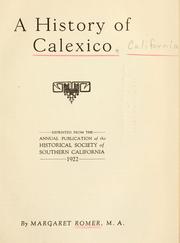
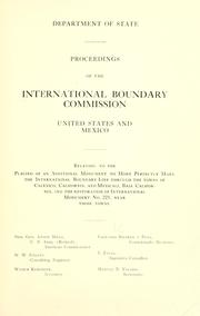

Search results from Open Library.
Recent natural events nearby
- MTZ/SDU/TUSIL Wildfire, San Diego, CaliforniaWildfires · 2026-05-19 · 51 mi
- VERONA Wildfire, Riverside, CaliforniaWildfires · 2026-05-19 · 118 mi
- BAIN Wildfire, Riverside, CaliforniaWildfires · 2026-05-19 · 146 mi
- AFM - Hazen Wildfire, Maricopa, ArizonaWildfires · 2026-05-02 · 173 mi
- SANDY Wildfire, Ventura, CaliforniaWildfires · 2026-05-18 · 216 mi
- NEURALIA Wildfire, Kern, CaliforniaWildfires · 2026-05-13 · 227 mi
- CANYON Wildfire, Kern, CaliforniaWildfires · 2026-05-07 · 237 mi
Wildfires, storms and other events from NASA EONET (last 12 months, within 250 mi).
Ground air-quality sensors
Recently spotted species
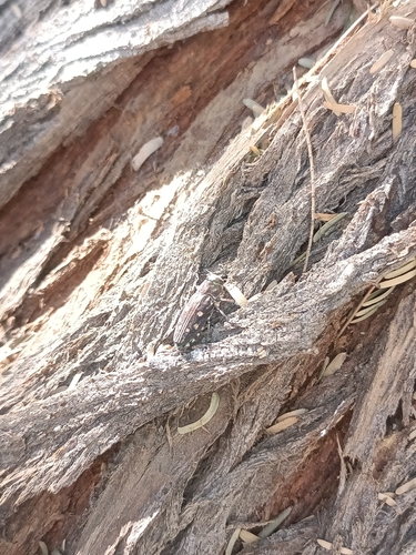
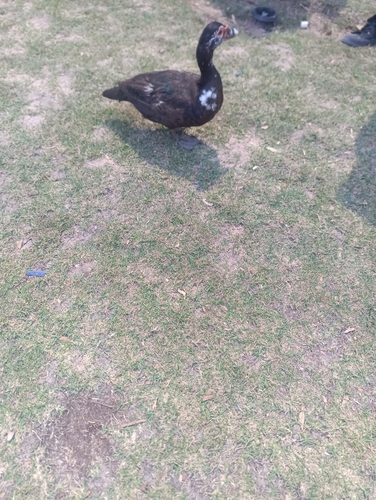

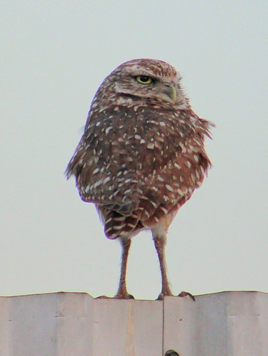

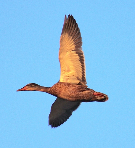
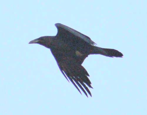
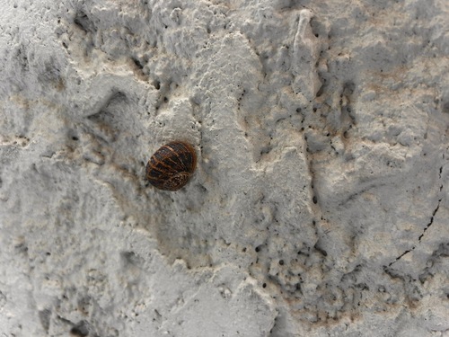
Research-grade observations from iNaturalist (within ~15 mi).
Nearest stream gauge
Live readings from USGS NWIS · measured 2026-06-03 17:00 UTC.
Events
Gallery
Geotagged photos within ~6 miles of Calexico, from Wikimedia Commons contributors.
.jpg) 0.5 mi
0.5 mi.jpg) 0.5 mi
0.5 mi 1.1 mi
 1.1 mi
 1.1 mi
 1.1 mi
 1.1 mi
 1.1 mi
 1.1 mi
.jpg) 1.1 mi
1.1 mi_-in_the_2nd_street.jpg) 1.3 mi
1.3 mi 1.3 mi
.jpg) 1.3 mi
1.3 mi 1.4 mi
 1.4 mi
 1.4 mi
 1.4 mi
 1.4 mi
 1.4 mi
 1.4 mi
.jpg) 1.4 mi
1.4 mi 1.4 mi
.JPG) 1.4 mi
1.4 mi.jpg) 1.4 mi
1.4 miPhotos via Wikimedia Commons — see each image page for license & attribution.
Sources
- • Wikipedia
- • US Census Bureau (ACS 5-year estimates)
- • NOAA National Weather Service
- • Wikimedia Commons
- • Wikidata
- • Open-Meteo Air Quality (CAMS)
- • USGS NWIS (water data)
- • NCES via Urban Institute Education Data Portal
- • GBIF (Global Biodiversity Information Facility)
- • iNaturalist
- • CDC PLACES
- • Open-Elevation
- • Open-Meteo / sunrise-sunset.org
- • Wikipedia Pageviews API
- • Open Library
- • NASA EONET
- • Wikidata SPARQL (CC0) — population, area, elevation, inception, head of government, Commons image