Browse / United States / California / Hemet
Hemet
Californiacity

Hemet
Total population
92,908
Median home value
$410,300
Bachelor's+
Median income
$62,386
Air quality index
Demographic figures from US Census Bureau · ACS 5-year estimates. Overview below cites Wikipedia and may reference a different year.
City facts
Facts from Wikidata (CC0).
Overview
Hemet is a city in the San Jacinto Valley in Riverside County, California, United States. It covers a total area of 29.3 square miles (76 km2), about half of the valley, which it shares with the neighboring city of San Jacinto. The population was 89,833 at the 2020 census. It borders San Jacinto to the north, East Hemet to the east, Polly Butte and Diamond Valley Lake to the south, and Green Acres to the west.
Read more on WikipediaHistory & geography
History
This had long been the territory of the indigenous Soboba people and Cahuilla tribe prior to Spanish colonization. During the early 19th century, Mission San Luis Rey used the land for cattle ranching. They named the area with the settler name Rancho San Jacinto. Following Mexico gaining independence from Spain, in 1842, settler José Antonio Estudillo received the Rancho San Jacinto Viejo Mexican land grant. In 1848, the United States annexed the California territory after defeating Mexico in the Mexican–American War. In 1887, during the first major Southern California land boom, Anglo-Americans W.F. Whittier and E.L. Mayberry founded the Lake Hemet Water Company, and the Lake Hemet Land Company, for speculative development. They had plans to dam the San Jacinto River to provide irrigation water to the valley. They named the town Hemet in November 1893. In 1895, they completed Hemet Dam as a private project on the San Jacinto River, creating Lake Hemet and providing a reliable water supply to the San Jacinto Valley. This water system, for irrigation in an arid region, was integral to the valley's development as an agricultural area. By 1894, settlers had established a newspaper, the Hemet News, and "several general stores", the largest being Heffelfinger & Co, which occupied an entire block. Other businesses included "a drug store, an excellent barber shop, two blacksmith shops, harness shop, shoe repairing houses, two real estate offices and two lumber yards." "The most pretentious building" was the two-story Hotel Mayberry, "supplied with all the modern conveniences usually found in first-class hostelries, including stationary water, baths, etc., and a complete electric light system, the power for which is furnished by the company's private plant." Also noted was…
Geography
Hemet is in the San Jacinto Valley of western Riverside County, south of San Jacinto. The valley, surrounded by the Santa Rosa Hills and San Jacinto Mountains, is mostly dry land, except for Diamond Valley Lake to the south. According to the United States Census Bureau, the city has a total area of , all land. Hemet is southeast of Downtown Los Angeles. File:Downtown Hemet - Bank of Hemet Building.jpg|NE Corner of Harvard Street and Florida Avenue File:Harvard District - Downtown Hemet.jpg|Harvard District - Downtown Hemet in 2014 File:Hemet Theater - panoramio.jpg|Hemet Theater in downtown, built in 1921 File:Looking North on Harvard, Downtown.jpg|Harvard Street, looking north in 2008 File:Downtown Hemet - Harvard St at Florida Ave.jpg|Downtown Hemet, looking north down Harvard Street Hemet has a semi-arid climate (Köppen climate classification: BSh) with mild winters and very hot, very dry summers.
Excerpted from the corresponding Wikipedia article (CC BY-SA).
Demographics & economy
Race & ethnicity
Source: US Census Bureau — American Community Survey, 5-year estimates.
Geography
Coordinates & boundaries from the US Census TIGER/Line shapefiles.
Climate
Current forecast
Forecast for Hemet, CA from NOAA NWS API.
Air quality
Current readings from Open-Meteo Air Quality API (Copernicus CAMS European reanalysis).
Industrial & pollution facilities
Natural hazard risk
Health (adults)
Age-adjusted prevalence estimates from CDC PLACES (latest release).
Walkability
Amenities nearby
Wildlife & biodiversity
Most-observed species
- Common RavenCorvus corax Linnaeus, 1758 · Aves3,551
- Red-tailed HawkButeo jamaicensis (Gmelin, 1788) · Aves3,107
- House FinchHaemorhous mexicanus (P.L.Statius Müller, 1776) · Aves2,891
- Black PhoebeSayornis nigricans (Swainson, 1827) · Aves2,764
- Mourning DoveZenaida macroura (Linnaeus, 1758) · Aves2,351
- American CootFulica americana Gmelin, 1789 · Aves2,219
- MallardAnas platyrhynchos Linnaeus, 1758 · Aves2,123
- Say's PhoebeSayornis saya (Bonaparte, 1825) · Aves2,073
Citizen-science & research observations from the Global Biodiversity Information Facility (GBIF).
Schools
Largest nearby schools
- San Jacinto HighHigh · San Jacinto · 2,617 students · 21.3:1 ratio
- Hemet HighHigh · Hemet · 2,438 students · 23.4:1 ratio
- Heritage HighHigh · Romoland · 2,428 students · 22.9:1 ratio
- West Valley HighHigh · Hemet · 1,898 students · 23.1:1 ratio
- Liberty HighHigh · Winchester · 1,753 students · 24.7:1 ratio
- Tahquitz HighHigh · Hemet · 1,727 students · 21.6:1 ratio
- San Jacinto Valley AcademyOther · San Jacinto · 1,571 students · 20.7:1 ratio
- Ethan A Chase MiddleMiddle · Menifee · 1,368 students · 24.9:1 ratio
Public K–12 schools within ~10 mi from Urban Institute Education Data Portal (NCES Common Core of Data, 2022).
Earthquake history
Most recent
- M 2.83 — 2026-06-2619 km NNE of Indio, CA
- M 2.82 — 2026-06-097 km SE of Loma Linda, CA
- M 3.18 — 2026-06-097 km SE of Loma Linda, CA
- M 2.54 — 2026-06-031 km E of San Jacinto, CA
- M 2.51 — 2026-05-123 km WSW of Lake Henshaw, CA
- M 3.29 — 2026-05-091 km SE of Muscoy, CA
Events from the USGS Earthquake Catalog (global) (FDSN Event Web Service).
Photos
Sights & places nearby
Notable people from here


People born within ~10 km, from Wikidata (CC0). Click any name for their Wikipedia article.
Nearby places in California
- East Hemet3.2 mi away
- Beaumont10.2 mi away · pop. 53,036
- Banning15.7 mi away · pop. 29,505
- Canyon Lake15.7 mi away
- Cherry Valley17 mi away
- Cabazon17.4 mi away
- Calimesa17.8 mi away
- Anza21 mi away
- El Sobrante28.4 mi away
- Desert Hot Springs30.3 mi away · pop. 32,512
- Cathedral City31.4 mi away · pop. 51,493
- Bloomington32.3 mi away
Geography & sun
Elevation, sunrise/sunset and daylight from Open-Meteo. Solar climatology from NASA POWER.
Nearby airports
Public attention
Pageview totals from the Wikimedia Pageviews API.
Books about Hemet

Search results from Open Library.
Recent natural events nearby
- VERONA Wildfire, Riverside, CaliforniaWildfires · 2026-05-19 · 5 mi
- SHORE Wildfire, Riverside, CaliforniaWildfires · 2026-06-15 · 18 mi
- BAIN Wildfire, Riverside, CaliforniaWildfires · 2026-05-19 · 34 mi
- MTZ/SDU/TUSIL Wildfire, San Diego, CaliforniaWildfires · 2026-05-19 · 78 mi
- SANDY Wildfire, Ventura, CaliforniaWildfires · 2026-05-18 · 106 mi
- NEURALIA Wildfire, Kern, CaliforniaWildfires · 2026-05-13 · 118 mi
- CANYON Wildfire, Kern, CaliforniaWildfires · 2026-05-07 · 132 mi
- WYLY Wildfire, Kern, CaliforniaWildfires · 2026-06-13 · 141 mi
Wildfires, storms and other events from NASA EONET (last 12 months, within 250 mi).
Ground air-quality sensors
Recently spotted species
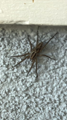
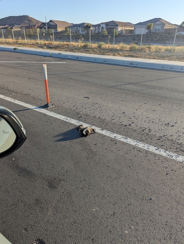
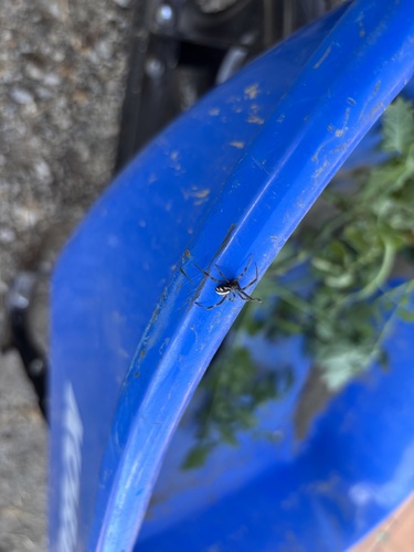
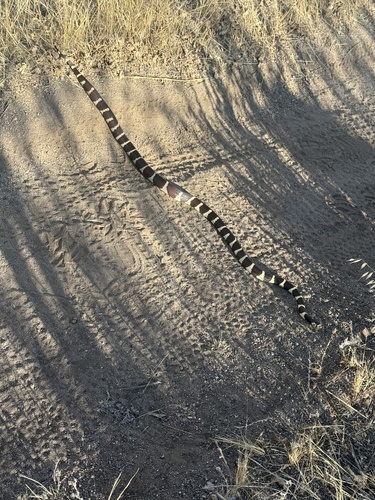
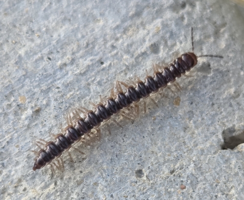
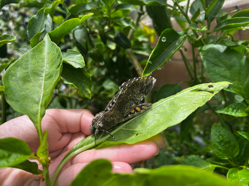
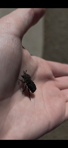
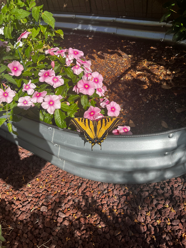
Research-grade observations from iNaturalist (within ~15 mi).
Nearest stream gauge
Live readings from USGS NWIS · measured 2026-06-27 11:30 UTC.
Events
Gallery
Geotagged photos within ~6 miles of Hemet, from Wikimedia Commons contributors.
 0.7 mi
 0.7 mi
 0.8 mi
 1.7 mi
 1.8 mi
 1.8 mi
 1.8 mi
 1.8 mi
 1.8 mi
 1.8 mi
.jpg) 1.8 mi
1.8 mi 1.9 mi
.jpeg) 2.1 mi
2.1 mi.jpeg) 2.1 mi
2.1 mi.jpeg) 2.1 mi
2.1 mi.jpeg) 2.2 mi
2.2 mi.jpeg) 2.2 mi
2.2 mi.jpeg) 2.2 mi
2.2 mi.jpeg) 2.2 mi
2.2 mi.jpg) 2.3 mi
2.3 mi.jpeg) 2.3 mi
2.3 mi.jpeg) 2.3 mi
2.3 mi.jpeg) 2.3 mi
2.3 miPhotos via Wikimedia Commons — see each image page for license & attribution.
Sources
- • Wikipedia
- • US Census Bureau (ACS 5-year estimates)
- • NOAA National Weather Service
- • Wikimedia Commons
- • Wikidata
- • Open-Meteo Air Quality (CAMS)
- • USGS Earthquake Catalog (global feed)
- • USGS NWIS (water data)
- • NCES via Urban Institute Education Data Portal
- • GBIF (Global Biodiversity Information Facility)
- • iNaturalist
- • CDC PLACES
- • Open-Meteo / sunrise-sunset.org
- • Wikipedia Pageviews API
- • Open Library
- • NASA EONET