Browse / United Kingdom / England / City of London
City of London
Englandcity

City of London
Total population
10,847
Demographic figures from UK Office for National Statistics. Overview below cites Wikipedia and may reference a different year.
City facts
Sister cities
Facts from Wikidata (CC0).
Overview
The City of London is a city, ceremonial county and local government district in England. Established by the Romans around 47 AD as Londinium, it forms the historic centre of the wider London metropolis. Surrounded by the modern ceremonial county of Greater London, the City is a unique local authority area governed by the City of London Corporation, which is led by the Lord Mayor of London. It is included as part of the region of England governed by the Greater London Authority, which shares local government powers in the region with the councils of 32 London boroughs and the City of London Corporation.
Read more on WikipediaHistory & geography
History
The Roman legions established a settlement known as "Londinium" on the current site of the City of London around AD 43. Its bridge over the River Thames turned the city into a road nexus and major port, serving as a major commercial centre in Roman Britain until its abandonment during the 5th century. Archaeologist Leslie Wallace notes that, because extensive archaeological excavation has not revealed any signs of a significant pre-Roman presence, "arguments for a purely Roman foundation of London are now common and uncontroversial." At its height, the Roman city had a population of approximately 45,000–60,000 inhabitants. Londinium was an ethnically diverse city, with inhabitants from across the Roman Empire, including natives of Britannia, continental Europe, the Middle East, and North Africa. The Romans built the London Wall some time between AD 190 and 225. The boundaries of the Roman city were similar to those of the City of London today. The City extends further west than Londinium's Ludgate, and the Thames was undredged and thus wider than it is today, with Londinium's shoreline slightly north of the City's present shoreline. The Romans built a bridge across the river, as early as AD 50, near to today's London Bridge. By the time the London Wall was constructed, the City's fortunes were in decline, and it faced problems of plague and fire. The Roman Empire entered a long period of instability and decline, including the Carausian Revolt in Britain. In the 3rd and 4th centuries, the City was under attack from Picts, Scots, and Saxon raiders. The decline continued, both for Londinium and the Empire. In AD 410 the Romans withdrew entirely from Britain. Many of the Roman public buildings in Londinium by this time had fallen into decay and disuse, and gradually…
Geography
The City of London is the smallest ceremonial county of England by area and population, and the fourth most densely populated. Of the 326 English districts, it is the second smallest by population, after the Isles of Scilly, and the smallest by area. It is also the smallest English city by population (and in Britain, only two cities in Wales are smaller), and the smallest in the UK by area. The elevation of the City ranges from sea level at the Thames to at the junction of High Holborn and Chancery Lane. Two small but notable hills are within the historic core, Ludgate Hill to the west and Cornhill to the east. Between them ran the Walbrook, one of the many "lost" rivers or streams of London (another is the Fleet). Beginning in the west, where the City borders Westminster, the boundary crosses the Victoria Embankment from the Thames, passes to the west of Middle Temple, then turns for a short distance along the Strand and near Temple Bar then north up Chancery Lane, where it borders Camden. It turns east along Holborn to Holborn Circus and then goes northeast to Charterhouse Street. As it crosses Farringdon Road it becomes the boundary with Islington. It continues to Aldersgate, goes north, and turns east into some back streets soon after Aldersgate becomes Goswell Road, since 1994 embracing all of the corporation's Golden Lane Estate. Here, at Baltic Street West, is the most northerly extent. The boundary includes all of the Barbican Estate and continues east along Ropemaker Street and its continuation on the other side of Moorgate, becomes South Place. It goes north, reaching the border with Hackney, then east, north, east on back streets, with Worship Street forming a northern boundary, so as to include the Broadgate estate. The boundary then turns south at…
Excerpted from the corresponding Wikipedia article (CC BY-SA).
Geography
Coordinates & boundaries from the US Census TIGER/Line shapefiles.
Climate
Air quality
Walkability
Amenities nearby
Wildlife & biodiversity
Earthquake history
Photos
Sights & places nearby
Notable people from here
Nearby places in England
Geography & sun
Elevation, sunrise/sunset and daylight from Open-Meteo. Solar climatology from NASA POWER.
Nearby airports
Public attention
Pageview totals from the Wikimedia Pageviews API.
Books about City of London
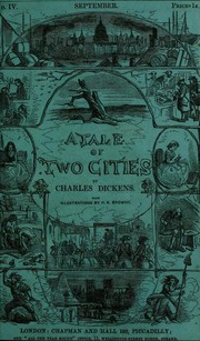

Search results from Open Library.
Recent natural events nearby
Ground air-quality sensors
Recently spotted species


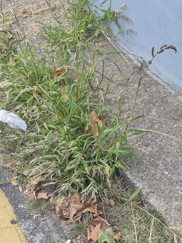
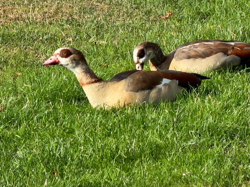
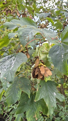

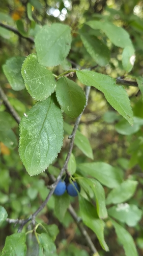


Research-grade observations from iNaturalist (within ~15 mi).
Events
Gallery
Official Identifiers
ONS — UK Office for National Statistics
- ONS code
- osgb4000000074343985
- Local type
- City
- Region
- London
api.postcodes.io / OS Open Names
Sources
- • Wikipedia
- • Wikidata
- • iNaturalist
- • Open-Meteo / sunrise-sunset.org
- • Wikipedia Pageviews API
- • Open Library
- • Wikidata SPARQL (CC0) — population, area, elevation, inception, head of government, Commons image
- • ONS / OS Open Names — UK official place gazetteer, via api.postcodes.io (OS code, local type, county/unitary, district/borough, region)
- • ONS — UK Office for National Statistics — api.postcodes.io / OS Open Names