Browse / United Kingdom / England / London
London
Englandcity

London
Total population
8,908,083
Air quality index
Demographic figures from UK Office for National Statistics. Overview below cites Wikipedia and may reference a different year.
City facts
Sister cities
Facts from Wikidata (CC0).
Overview
London is the capital and largest city of England and the United Kingdom, with a population of 9.14 million people in 2025. Its wider metropolitan area is the largest in Western Europe, with a population of 15.4 million. London stands on the River Thames in southeast England, at the head of a 50-mile (80 km) tidal estuary down to the North Sea, and has been a major settlement for nearly 2,000 years. Its ancient core and financial centre, the City of London, was founded by the Romans as Londinium and has retained its medieval boundaries. The City of Westminster, to the west of the City of London, has been the site of the national government and parliament for centuries. London grew rapidly in the 19th century, becoming the world's largest city at the time. Since the 19th century the name "London" has referred to the metropolis around the City of London, historically split among the counties of Middlesex, Essex, Surrey, Kent and Hertfordshire. Since 1965 it has largely comprised the administrative area of Greater London, governed by 33 local authorities and the Greater London Authority.
Read more on WikipediaHistory & geography
History
In 1993, remains of a Bronze Age bridge were found on the south River Thames foreshore, upstream from Vauxhall Bridge. Two of the timbers were radiocarbon dated to 1750–1285 BC. were found on the Thames' south foreshore downstream from Vauxhall Bridge. Both are located on the south bank of the Thames, where the now-underground River Effra flows into the Thames. about 4 years after their invasion of AD 43. This only lasted until about AD 61, when the Iceni tribe led by Queen Boudica stormed it and burnt it to the ground. The next planned incarnation of Londinium prospered, superseding Colchester as the principal city of the Roman province of Britannia in 100. At its height in the 2nd century, Roman London had a population of about 60,000. With the early-5th-century collapse of Roman rule, the walled city of Londinium was effectively abandoned, although Roman civilisation continued around St Martin-in-the-Fields until about 450. From about 500 an Anglo-Saxon settlement known as Lundenwic developed slightly west of the old Roman city. By about 680 the city had become a major port again, but there is little evidence of large-scale production. From the 820s repeated Viking assaults brought decline. The Vikings applied Danelaw over much of eastern and northern England from 886; The Anglo-Saxon Chronicle records that Alfred "refounded" London that year. This involved the abandonment of Lundenwic and a revival of life and trade within the old Roman walls. London then grew slowly until a dramatic increase in about 950. By the 11th century, London was the largest town in England. Westminster Abbey, rebuilt in Romanesque style by King Edward the Confessor, was one of the grandest churches in Europe. Winchester had been the capital of Anglo-Saxon England,…
Geography
Greater London is one of nine regions of England and the top subdivision covering most of the metropolis. The City of London at its core once comprised the whole settlement; as its urban area grew, the Corporation of London resisted attempts to amalgamate the city with its suburbs, causing "London" to be defined several ways. Forty per cent of Greater London is covered by the London post town, in which "London" forms part of postal addresses. The London telephone area code (020) covers an area similar in size to Greater London, although some outer districts are excluded and some just outside included. The London linked-number area extends 18 miles around Kings Cross, see Director telephone system. The Greater London boundary has been aligned to the M25 motorway in places. Urban expansion is prevented by the Metropolitan Green Belt, although the built-up area extends beyond the boundary in places, producing a separately defined Greater London Urban Area. Beyond this is the London commuter belt. Greater London is split for some purposes into Inner London and Outer London, and by the River Thames into North and South, with an informal Central London area. The coordinates of the nominal "centre of London", traditionally the original Eleanor Cross at Charing Cross near the junction of Trafalgar Square and Whitehall, are about . Within London, the City of London and the City of Westminster have city status. The City of London and the remainder of Greater London are ceremonial counties. Greater London includes parts of the historic counties of Middlesex, Kent, Surrey, Essex and Hertfordshire. Greater London has been defined as a region of England. London is the capital of the United Kingdom and of England by convention. The capital of England was moved from Winchester as…
Excerpted from the corresponding Wikipedia article (CC BY-SA).
Geography
Coordinates & boundaries from the US Census TIGER/Line shapefiles.
Climate
10-year averages from ERA5 reanalysis (Open-Meteo).
Air quality
Current readings from Open-Meteo Air Quality API (Copernicus CAMS European reanalysis).
Walkability
Amenities nearby
Wildlife & biodiversity
Most-observed species
- Common Wood-PigeonColumba palumbus Linnaeus, 1758 · Aves70,778
- Carrion CrowCorvus corone Linnaeus, 1758 · Aves67,748
- Eurasian MagpiePica pica (Linnaeus, 1758) · Aves65,807
- European RobinErithacus rubecula (Linnaeus, 1758) · Aves62,189
- Rock PigeonColumba livia J.F.Gmelin, 1789 · Aves61,216
- Rose-ringed ParakeetPsittacula krameri (Scopoli, 1769) · Aves60,561
- Great TitParus major Linnaeus, 1758 · Aves52,595
- Eurasian Blue TitCyanistes caeruleus (Linnaeus, 1758) · Aves52,502
Citizen-science & research observations from the Global Biodiversity Information Facility (GBIF).
Earthquake history
Most recent
- M 3.1 — 2020-09-225 km N of Aylesbury, United Kingdom
- M 3.9 — 2020-09-082 km WSW of Pitstone, United Kingdom
- M 3.3 — 2019-02-273 km SE of Dorking, United Kingdom
- M 2.8 — 2018-07-051 km S of Ewhurst, United Kingdom
- M 2.6 — 2018-06-275 km W of Capel, United Kingdom
- M 2.7 — 2018-04-014 km E of Holmwood, United Kingdom
Events from the USGS Earthquake Catalog (global) (FDSN Event Web Service).
Photos
Sights & places nearby
Notable people from here


People born within ~10 km, from Wikidata (CC0). Click any name for their Wikipedia article.
Nearby places in England
Geography & sun
Elevation, sunrise/sunset and daylight from Open-Meteo. Solar climatology from NASA POWER.
Nearby airports
Public attention
Pageview totals from the Wikimedia Pageviews API.
Books about London
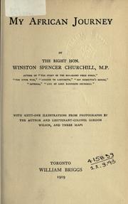

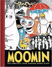
Search results from Open Library.
Recent natural events nearby
Ground air-quality sensors
Recently spotted species
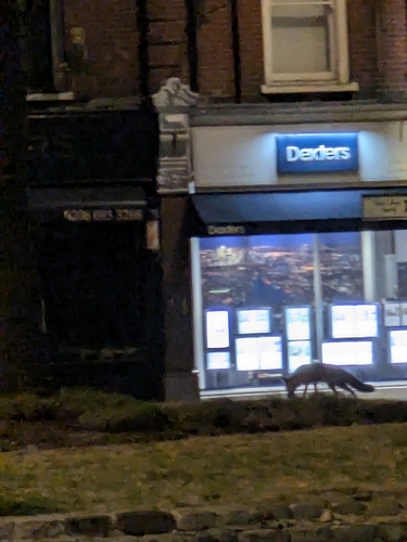
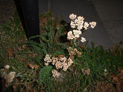
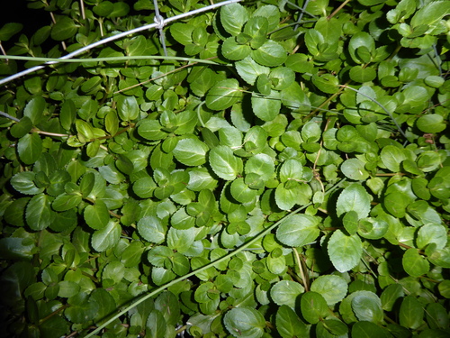
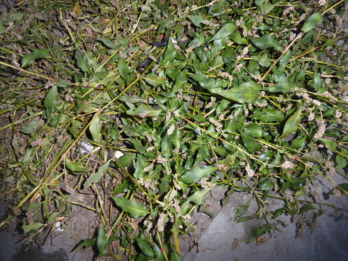
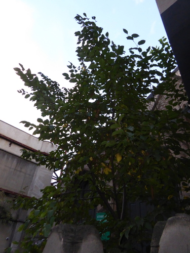
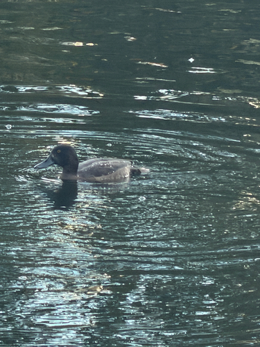
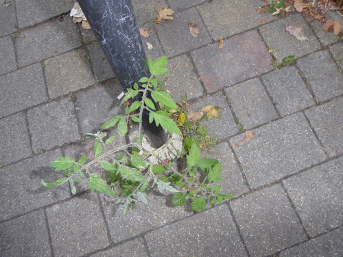
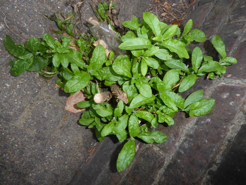
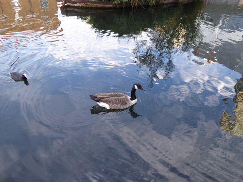
Research-grade observations from iNaturalist (within ~15 mi).
Events
Notable, recurring, and historical events associated with London, sourced from Wikidata.
- Jan 1, 2012
- Jan 1, 2011
- Jan 1, 2010
- Jan 1, 2008
- Jan 1, 2007
- Jan 1, 2006
- Jan 1, 2003
- Jan 1, 1995
- Jan 1, 1993
- Jan 1, 1992
- Mar 17, 1991
- Mar 20, 1988
- Mar 22, 1987
- Q1486390Jan 1, 1986recurring event edition
- Jan 1, 1986
- 37th British Academy Film AwardsJan 1, 1984award ceremony
given by the British Academy of Film and Television Arts in 1984, honoured the best films of 1983
- Jan 1, 1982
- Jan 1, 1980
- Jan 1, 1978
- Jan 1, 1972
Source: Wikidata (CC0).
Gallery
Geotagged photos within ~6 miles of London, from Wikimedia Commons contributors.


.jpg)
.jpg)
.jpg)
.jpg)
.jpg)
.jpg)
.jpg)
.jpg)
.jpg)
.jpg)
.jpg)
_(27721163652).jpg)
_(27746562621).jpg)
_(27721161692).jpg)

.jpg)
.jpg)
.jpg)
_Jigsaw_(37678882021).jpg)
.jpg)
.jpg)

Photos via Wikimedia Commons — see each image page for license & attribution.
Official Identifiers
ONS — UK Office for National Statistics
- ONS code
- osgb4000000074813508
- Local type
- City
- Region
- London
api.postcodes.io / OS Open Names
Sources
- • Wikipedia
- • Open-Meteo (ERA5 reanalysis)
- • Wikimedia Commons
- • Wikidata
- • Open-Meteo Air Quality (CAMS)
- • USGS Earthquake Catalog (global feed)
- • GBIF (Global Biodiversity Information Facility)
- • iNaturalist
- • Open-Elevation
- • Open-Meteo / sunrise-sunset.org
- • Wikipedia Pageviews API
- • Open Library
- • Wikidata SPARQL (CC0) — population, area, elevation, inception, head of government, Commons image
- • ONS / OS Open Names — UK official place gazetteer, via api.postcodes.io (OS code, local type, county/unitary, district/borough, region)
- • ONS — UK Office for National Statistics — api.postcodes.io / OS Open Names